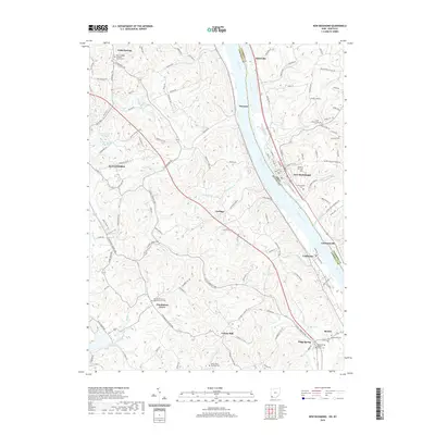
2019 Map of New Richmond
USGS Topo · Published 2019About this map
The Ohio River valley carves a steep corridor between Campbell County, Kentucky, and Clermont County, Ohio, anchoring a landscape of tight ridges and winding creek bottoms. On the Kentucky side, small farming communities like Gubser Mill and Persimmon Grove are tucked into the hills, often centered around long-standing religious sites such as Persimmon Grove Baptist Church Cem and Saints Peter and Paul Cem. Across the water, New Richmond sits on the riverfront, its grid stretching toward Watkins Hill Cem and Greenmound Cem. Significant elevation changes are marked by features like Torline Ridge and Riebel Ridge, while several tributaries including Twelvemile Cr and Fourmile Cr drain into the main river channel. This area reflects a long-standing settlement pattern where riverfront commerce in towns like California and Oneonta met the upland agriculture of the interior ridges.
Find a feature on this map
139 named features on this map. Tap any name to fly to it.
Don’t see what you’re looking for? This feature index may not catch every label — zoom into the map to look around manually.
Map Details
Editions of this 2019 New Richmond Map
This is the sole edition of this map. No revisions or reprints were ever made.
Other maps of this area

1898 · East Cincinnati
USGS Topo · 1:62,500

1914 · East Cincinnati
USGS Topo · 1:62,500

1914 · Batavia
USGS Topo · 1:48,000

1916 · Batavia
USGS Topo · 1:62,500

1929 · Alexandria
USGS Topo · 1:48,000

1931 · Felicity
USGS Topo · 1:62,500

1936 · Alexandria
USGS Topo · 1:62,500

1952 · Newport
USGS Topo · 1:24,000

1953 · Laurel
USGS Topo · 1:24,000

1953 · Withamsville
USGS Topo · 1:24,000