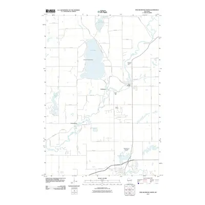
2010 Map of New Richmond North
USGS Topo · Published 2010About this map
The Apple River winds through the heart of this landscape, connecting the small communities of Star Prairie and Huntington in northern Saint Croix County. In 2010, the region exhibits a distinct aviation character with several specialized landing facilities present, including the Ceder Lake Seaplane Base on the waters of Cedar Lake and the nearby Danielson Landing Field and Hexum Flight Park. These private and municipal airfields, alongside the New Richmond Municipal Airport to the south, highlight the area's modern development as a hub for small craft pilots.
Find a feature on this map
65 named features on this map. Tap any name to fly to it.
Don’t see what you’re looking for? This feature index may not catch every label — zoom into the map to look around manually.
Map Details
Editions of this 2010 New Richmond North Map
This is the sole edition of this map. No revisions or reprints were ever made.
Other maps of this area

1900 · St Croix Dalles
USGS Topo · 1:62,500

1901 · St Croix Dalles
USGS Topo · 1:62,500

1948 · New Richmond
USGS Topo · 1:62,500

1949 · New Richmond
USGS Topo · 1:62,500

1950 · Deer Park
USGS Topo · 1:62,500

1950 · Balsam Lake
USGS Topo · 1:62,500

1953 · Stillwater
USGS Topo · 1:250,000

1955 · St. Croix Dalles
USGS Topo · 1:62,500

1955 · Stillwater
USGS Topo · 1:250,000

1958 · Stillwater
USGS Topo · 1:250,000