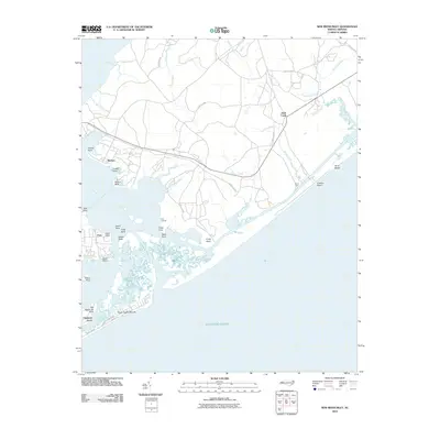
2010 Map of New River Inlet
USGS Topo · Published 2010About this map
Camp Lejeune dominates the northern and central portions of this coastal landscape, illustrating the extensive military presence in this region of North Carolina. The map captures the complex interaction of land and water where the New River meets the Atlantic Ocean. To the south, the development of barrier island communities is evident in North Topsail Shores and Chadwick Acres, linked by the coastal corridor of Shore Dr.
Find a feature on this map
39 named features on this map. Tap any name to fly to it.
Don’t see what you’re looking for? This feature index may not catch every label — zoom into the map to look around manually.
Map Details
Editions of this 2010 New River Inlet Map
This is the sole edition of this map. No revisions or reprints were ever made.
Other maps of this area

1942 · Spicer Bay
USGS Topo · 1:62,500

1942 · Swansboro
USGS Topo · 1:62,500

1948 · Swansboro
USGS Topo · 1:62,500

1948 · New River
USGS Topo · 1:62,500

1952 · Hubert
USGS Topo · 1:24,000

1952 · Camp Lejeune
USGS Topo · 1:24,000

1952 · Jacksonville South
USGS Topo · 1:24,000

1952 · Browns Inlet
USGS Topo · 1:24,000

1952 · Spicer Bay
USGS Topo · 1:24,000

1952 · New River Inlet
USGS Topo · 1:24,000
Featured Places
- North Topsail Beach, NC
- Peru, NC
- Marine Corps Base Camp Lejeune, NC
- Chadwick Acres, NC
- Duck Creek, Marine Corps Base Camp Lejeune