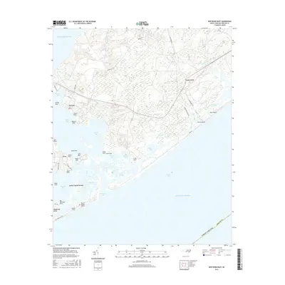
2016 Map of New River Inlet
USGS Topo · Published 2016About this map
New River Inlet serves as the focal point for this coastal landscape, where the tides bridge the Atlantic Ocean and the intricate marshlands of Onslow Bay. The southern portion of the map is dominated by the development of Topsail Island, featuring settlements like North Topsail Beach and North Topsail Shores, while the mainland side reveals a more sparse distribution of communities such as Marines and Peru.
Find a feature on this map
63 named features on this map. Tap any name to fly to it.
Don’t see what you’re looking for? This feature index may not catch every label — zoom into the map to look around manually.
Map Details
Editions of this 2016 New River Inlet Map
This is the sole edition of this map. No revisions or reprints were ever made.
Other maps of this area

1942 · Spicer Bay
USGS Topo · 1:62,500

1942 · Swansboro
USGS Topo · 1:62,500

1948 · Swansboro
USGS Topo · 1:62,500

1948 · New River
USGS Topo · 1:62,500

1952 · Hubert
USGS Topo · 1:24,000

1952 · Camp Lejeune
USGS Topo · 1:24,000

1952 · Jacksonville South
USGS Topo · 1:24,000

1952 · Browns Inlet
USGS Topo · 1:24,000

1952 · Spicer Bay
USGS Topo · 1:24,000

1952 · New River Inlet
USGS Topo · 1:24,000
Featured Places
- North Topsail Beach, NC
- Peru, NC
- Marine Corps Base Camp Lejeune, NC
- Chadwick Acres, NC
- Duck Creek, Marine Corps Base Camp Lejeune