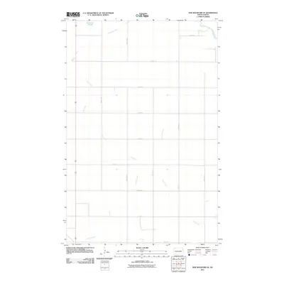
2011 Map of New Rockford SE
USGS Topo · Published 2011About this map
Kelly Creek and Scotts Slough define the drainage patterns of this Foster County landscape, which is organized by a precise grid of rural section roads. The map illustrates a contemporary agricultural environment where seasonal water features like Schwoebel Slough and the winding Rocky Run punctuate the open plains of North Dakota. In the northeast corner, the James River makes a brief appearance, serving as a primary waterway for the region. The road network, including corridors like 69th Ave NE and 14th St NE, highlights the systematic land division characteristic of the Great Plains, where transport routes follow the township and range lines established over a century ago.
Find a feature on this map
19 named features on this map. Tap any name to fly to it.
Don’t see what you’re looking for? This feature index may not catch every label — zoom into the map to look around manually.
Map Details
Editions of this 2011 New Rockford SE Map
This is the sole edition of this map. No revisions or reprints were ever made.
Other maps of this area

1900 · Pingree
USGS Topo · 1:125,000

1944 · Brantford
USGS Topo · 1:62,500

1946 · Brantford
USGS Topo · 1:62,500

1948 · New Rockford
USGS Topo · 1:62,500

1948 · Carrington
USGS Topo · 1:62,500

1950 · Carrington East
USGS Topo · 1:24,000

1950 · New Rockford
USGS Topo · 1:24,000

1950 · New Rockford NE
USGS Topo · 1:24,000

1950 · Brantford NW
USGS Topo · 1:24,000

1950 · Brantford
USGS Topo · 1:24,000