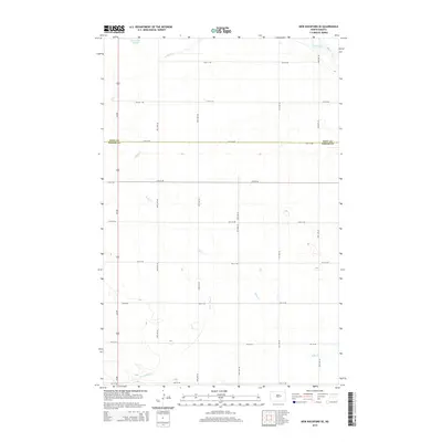
2014 Map of New Rockford SE
USGS Topo · Published 2014About this map
The James River cuts across the northeastern corner of this landscape, anchoring a complex hydrologic network in the drift prairie. Meandering watercourses and intermittent basins define the local geography, with Kelly Cr and Rocky Run draining toward the river system. Large wetland features, including Schwoebel Slough in the north and Scotts Slough further south, are characteristic of this region's glacial legacy. The map captures a strictly agricultural grid where North-South avenues and East-West streets intersect at precise mile intervals. This survey preserves the exact boundary line between Eddy Co and Foster Co, showing how political divisions align with the section lines of the rural road network. Modern infrastructure is represented by the north-south corridor of Us-281, which provides the primary transit artery through this sparsely populated section of the Great Plains.
Find a feature on this map
21 named features on this map. Tap any name to fly to it.
Don’t see what you’re looking for? This feature index may not catch every label — zoom into the map to look around manually.
Map Details
Editions of this 2014 New Rockford SE Map
This is the sole edition of this map. No revisions or reprints were ever made.
Other maps of this area

1900 · Pingree
USGS Topo · 1:125,000

1944 · Brantford
USGS Topo · 1:62,500

1946 · Brantford
USGS Topo · 1:62,500

1948 · New Rockford
USGS Topo · 1:62,500

1948 · Carrington
USGS Topo · 1:62,500

1950 · Carrington East
USGS Topo · 1:24,000

1950 · New Rockford
USGS Topo · 1:24,000

1950 · New Rockford NE
USGS Topo · 1:24,000

1950 · Brantford NW
USGS Topo · 1:24,000

1950 · Brantford
USGS Topo · 1:24,000