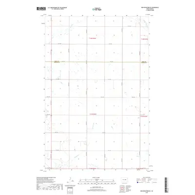
2018 Map of New Rockford SE
USGS Topo · Published 2018About this map
The James River snakes through the northeastern corner of this landscape, anchoring a terrain defined by subtle drainage patterns and extensive wetland depressions. Spanning the boundary of Eddy Co and Foster Co, the area is characterized by a high density of sloughs and intermittent creeks, most notably Scotts Slough and the winding Kelly Cr. This 2018 survey reveals a highly organized section-line road network, where routes like 67th Ave NE and 12th St NE partition the agricultural lands into a precise grid. Smaller water features such as Rocky Run indicate the seasonal hydrology of the region, which has long influenced the development of farmsteads and transport in this part of North Dakota.
Find a feature on this map
27 named features on this map. Tap any name to fly to it.
Don’t see what you’re looking for? This feature index may not catch every label — zoom into the map to look around manually.
Map Details
Editions of this 2018 New Rockford SE Map
This is the sole edition of this map. No revisions or reprints were ever made.
Other maps of this area

1900 · Pingree
USGS Topo · 1:125,000

1944 · Brantford
USGS Topo · 1:62,500

1946 · Brantford
USGS Topo · 1:62,500

1948 · New Rockford
USGS Topo · 1:62,500

1948 · Carrington
USGS Topo · 1:62,500

1950 · Carrington East
USGS Topo · 1:24,000

1950 · New Rockford
USGS Topo · 1:24,000

1950 · New Rockford NE
USGS Topo · 1:24,000

1950 · Brantford NW
USGS Topo · 1:24,000

1950 · Brantford
USGS Topo · 1:24,000