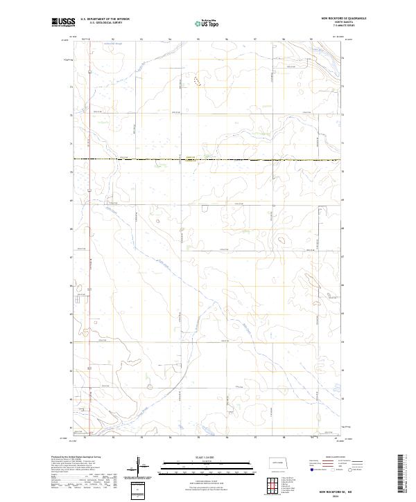
2024 Map of New Rockford SE
USGS Topo · Published 2024About this map
The low-lying wetlands of central North Dakota define the landscape at the boundary of Eddy Co Foster Co. This area is characterized by a complex network of seasonal and permanent water bodies, notably the James River which cuts through the northeastern corner. The drainage patterns are dominated by meandering prairie streams like Kelly Creek and Rocky Run, which thread through a grid of section-line roads such as 14th St NE and 6th St NE. In the south, the expansive Scotts Slough and Schwoebel Slough in the north illustrate the region's pothole geology. This modern survey shows a landscape almost entirely shaped by agricultural parceling, where the natural hydrology of the James River basin must navigate a strictly defined human infrastructure of townships and ranges.
Find a feature on this map
21 named features on this map. Tap any name to fly to it.
Don’t see what you’re looking for? This feature index may not catch every label — zoom into the map to look around manually.
Map Details
Editions of this 2024 New Rockford SE Map
This is the sole edition of this map. No revisions or reprints were ever made.
Other maps of this area

1900 · Pingree
USGS Topo · 1:125,000

1944 · Brantford
USGS Topo · 1:62,500

1946 · Brantford
USGS Topo · 1:62,500

1948 · New Rockford
USGS Topo · 1:62,500

1948 · Carrington
USGS Topo · 1:62,500

1950 · Carrington East
USGS Topo · 1:24,000

1950 · New Rockford
USGS Topo · 1:24,000

1950 · New Rockford NE
USGS Topo · 1:24,000

1950 · Brantford NW
USGS Topo · 1:24,000

1950 · Brantford
USGS Topo · 1:24,000