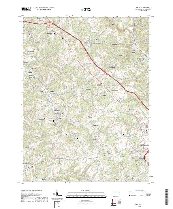
2023 Map of New Salem
USGS Topo · Published 2023About this map
New Salem and its surrounding coal-country settlements define this portion of Fayette County. The landscape is dense with historical religious and burial sites, from the Saint Mary Assumption Byzantine Catholic Cem and Holy Trinity Orthodox Church Cem near Buffington to the Saint Thomas Roman Catholic Cem in Footedale. These markers, along with Tower Hill Number One and Dunlap Creek Village, trace the cultural and industrial growth of a region shaped by mining and rail transport along the Pittsburgh Rd.
Find a feature on this map
79 named features on this map. Tap any name to fly to it.
Don’t see what you’re looking for? This feature index may not catch every label — zoom into the map to look around manually.
Map Details
Editions of this 2023 New Salem Map
This is the sole edition of this map. No revisions or reprints were ever made.
Other maps of this area

1900 · Uniontown
USGS Topo · 1:62,500

1900 · Masontown
USGS Topo · 1:62,500

1902 · Brownsville
USGS Topo · 1:62,500

1902 · Connellsville
USGS Topo · 1:62,500

1903 · Masontown
USGS Topo · 1:62,500

1906 · Brownsville
USGS Topo · 1:62,500

1931 · Brownsville
USGS Topo · 1:62,500

1931 · Connellsville
USGS Topo · 1:62,500

1931 · Uniontown
USGS Topo · 1:62,500

1931 · Masontown
USGS Topo · 1:62,500
Featured Places
- Luzerne Township, PA
- North Union Township, PA
- German Township, PA
- Davidson, Redstone Township
- Fairbank, Redstone Township