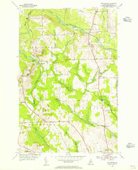
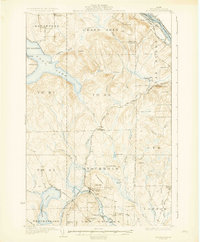
1953 Map of New Sweden
USGS Topo · Published 1955About this map
New Sweden and the surrounding townships of Connor, Caribou, and Woodland reveal a mid-century landscape defined by its Scandinavian heritage and agricultural layout. The Bangor and Aroostook rail line anchors the local economy, connecting rail-dependent sites like New Sweden Sta, Rista Siding, and Ben Thomas Siding. This transportation corridor supports a network of rural schoolhouses and small settlements that point to the region's historical community hubs, including the Sacred Heart Sch and the Woodland Consolidated Sch.
Find a feature on this map
45 named features on this map. Tap any name to fly to it.
Don’t see what you’re looking for? This feature index may not catch every label — zoom into the map to look around manually.
Map Details
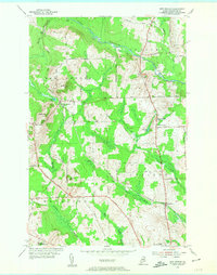
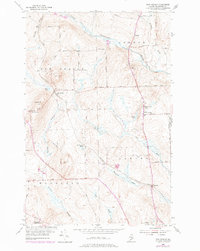
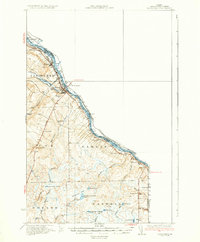
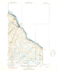
Editions of this 1953 New Sweden Map
3 editions found
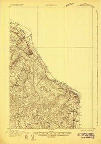
Other maps of this area

1921 · Van Buren
USGS Topo · 1:250,000

1927 · Stockholm
USGS Topo · 1:48,000

1929 · Caribou
USGS Topo · 1:48,000

1930 · Fort Fairfield
USGS Topo · 1:48,000
1931 · Van Buren
USGS Topo · 1:48,000
1931 · Stockholm
USGS Topo · 1:62,500

1932 · Caribou
USGS Topo · 1:62,500

1933 · Fort Fairfield
USGS Topo · 1:62,500
1934 · Van Buren
USGS Topo · 1:62,500
1951 · Van Buren
USGS Topo · 1:62,500