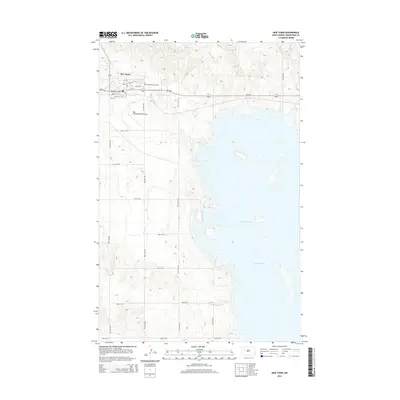
2014 Map of New Town
USGS Topo · Published 2014About this map
New Town sits above the northern shores of Lake Sakakawea, an expansive reservoir formed by the Garrison Dam. The landscape reflects a modern era of development in Mountrail County, centered around the intersection of Nd-23 and Nd-1804. Educational and civic infrastructure are prominent in the town center, notably with the presence of Berthold Community Coll and the New Town Municipal Airport situated to the south of the residential core.
Find a feature on this map
28 named features on this map. Tap any name to fly to it.
Don’t see what you’re looking for? This feature index may not catch every label — zoom into the map to look around manually.
Map Details
Editions of this 2014 New Town Map
This is the sole edition of this map. No revisions or reprints were ever made.
Other maps of this area

1953 · Williston
USGS Topo · 1:250,000

1953 · Watford City
USGS Topo · 1:250,000

1957 · Williston
USGS Topo · 1:250,000

1957 · Watford City
USGS Topo · 1:250,000

1967 · Watford City
USGS Topo · 1:250,000

1967 · Sanish
USGS Topo · 1:24,000

1967 · Sanish SE
USGS Topo · 1:24,000

1967 · New Town SW
USGS Topo · 1:24,000

1967 · New Town SE
USGS Topo · 1:24,000

1981 · Belden SW
USGS Topo · 1:24,000