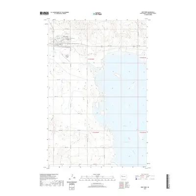
2020 Map of New Town
USGS Topo · Published 2020About this map
New Town sits at a critical junction of modern infrastructure and traditional landscape along the northern reaches of Lake Sakakawea. This 2020 edition documents the contemporary layout of the community, including the campus of Fort Berthold Community College and the New Town Municipal Airport. The map highlights the vast water surface of the Van Hook Arm and the original course of the Missouri River, illustrating how the massive reservoir dominates the regional geography. For genealogists and local historians, the inclusion of the New Town Cem provides a specific point of reference for family research. The grid of rural roads, such as 87th Ave NW and 39th St NW, defines the surrounding agricultural and open lands within the boundaries of T152N R92W and neighboring townships.
Find a feature on this map
35 named features on this map. Tap any name to fly to it.
Don’t see what you’re looking for? This feature index may not catch every label — zoom into the map to look around manually.
Map Details
Editions of this 2020 New Town Map
This is the sole edition of this map. No revisions or reprints were ever made.
Other maps of this area

1953 · Williston
USGS Topo · 1:250,000

1953 · Watford City
USGS Topo · 1:250,000

1957 · Williston
USGS Topo · 1:250,000

1957 · Watford City
USGS Topo · 1:250,000

1967 · Watford City
USGS Topo · 1:250,000

1967 · Sanish
USGS Topo · 1:24,000

1967 · Sanish SE
USGS Topo · 1:24,000

1967 · New Town SW
USGS Topo · 1:24,000

1967 · New Town SE
USGS Topo · 1:24,000

1981 · Belden SW
USGS Topo · 1:24,000