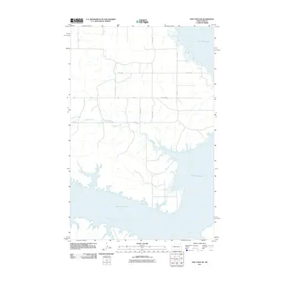
2011 Map of New Town SW
USGS Topo · Published 2011About this map
Lake Sakakawea dominates the eastern and southern landscape of this Missouri River basin map, illustrating the significant impact of the Garrison Dam on the topography of Mountrail County. This 2011 survey documents the shoreline and hydrologic patterns of the Missouri River as it enters the reservoir, showing the intricate inlets formed by the rising water. The land north of the water is defined by a precise section-line road grid, including 30th St NW and 28th St NW, which segment the rolling prairie into agricultural blocks. The drainage of Little Shell Creek meanders toward the lake, providing a natural contrast to the rigid geometry of the county road system. This map captures the intersection of mid-century engineering and traditional rural development, offering a clear record of the region's modified hydrology and contemporary rural infrastructure.
Find a feature on this map
12 named features on this map. Tap any name to fly to it.
Don’t see what you’re looking for? This feature index may not catch every label — zoom into the map to look around manually.
Map Details
Editions of this 2011 New Town SW Map
This is the sole edition of this map. No revisions or reprints were ever made.
Other maps of this area

1953 · Watford City
USGS Topo · 1:250,000

1957 · Watford City
USGS Topo · 1:250,000

1967 · Watford City
USGS Topo · 1:250,000

1967 · Sanish
USGS Topo · 1:24,000

1967 · Sanish SE
USGS Topo · 1:24,000

1967 · New Town SW
USGS Topo · 1:24,000

1967 · New Town SE
USGS Topo · 1:24,000

1970 · String Buttes
USGS Topo · 1:24,000
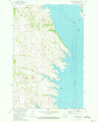
1970 · Saddle Butte
USGS Topo · 1:24,000
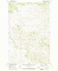
1970 · Mandaree NE
USGS Topo · 1:24,000