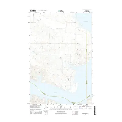
2014 Map of New Town SW
USGS Topo · Published 2014About this map
Lake Sakakawea dominates this landscape where the Missouri River has been transformed into a massive reservoir. The shoreline follows a complex, indented path around the Van Hook Arm, revealing the submerged topography of the river valley. Inland, the high plains are dissected by smaller drainages such as Little Shell Cr, which feeds into the larger lake body. The map highlights a rural grid of section roads like 89th Ave NW and 31st St NW, illustrating the agricultural layout of the region. This 2014 survey also shows the junction of three North Dakota counties—Mountrail, McLean, and Dunn—meeting near the southern reaches of the reservoir. Cultural markers such as Bia 602 indicate the administrative presence of the Bureau of Indian Affairs in this part of the state.
Find a feature on this map
17 named features on this map. Tap any name to fly to it.
Don’t see what you’re looking for? This feature index may not catch every label — zoom into the map to look around manually.
Map Details
Editions of this 2014 New Town SW Map
This is the sole edition of this map. No revisions or reprints were ever made.
Other maps of this area

1953 · Watford City
USGS Topo · 1:250,000

1957 · Watford City
USGS Topo · 1:250,000

1967 · Watford City
USGS Topo · 1:250,000

1967 · Sanish
USGS Topo · 1:24,000

1967 · Sanish SE
USGS Topo · 1:24,000

1967 · New Town SW
USGS Topo · 1:24,000

1967 · New Town SE
USGS Topo · 1:24,000

1970 · String Buttes
USGS Topo · 1:24,000
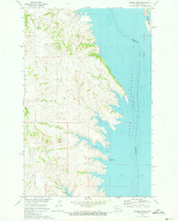
1970 · Saddle Butte
USGS Topo · 1:24,000
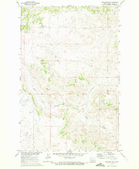
1970 · Mandaree NE
USGS Topo · 1:24,000