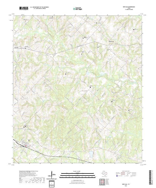
2022 Map of New Ulm
USGS Topo · Published 2022About this map
Settled by German immigrants in the mid-19th century, the communities of New Ulm and Industry anchor this western Austin County landscape. The terrain is defined by a dense network of watercourses, including the meandering West Mill Creek and Sandy Cr, which carved the undulating hills that drew early farmers to the region. This map provides a clear view of the area's ancestral footprint through its numerous family-named burial grounds.
Find a feature on this map
110 named features on this map. Tap any name to fly to it.
Don’t see what you’re looking for? This feature index may not catch every label — zoom into the map to look around manually.
Map Details
Editions of this 2022 New Ulm Map
This is the sole edition of this map. No revisions or reprints were ever made.
Other maps of this area

1919 · Fayettsville
USGS Topo · 1:62,500

1930 · Brenham
USGS Topo · 1:62,500

1953 · Seguin
USGS Topo · 1:250,000

1954 · Austin
USGS Topo · 1:250,000

1956 · Bellville
USGS Topo · 1:62,500

1956 · Brenham
USGS Topo · 1:62,500

1958 · Seguin
USGS Topo · 1:250,000

1958 · Industry
USGS Topo · 1:24,000

1958 · Greenvine
USGS Topo · 1:24,000

1958 · Frelsburg
USGS Topo · 1:24,000