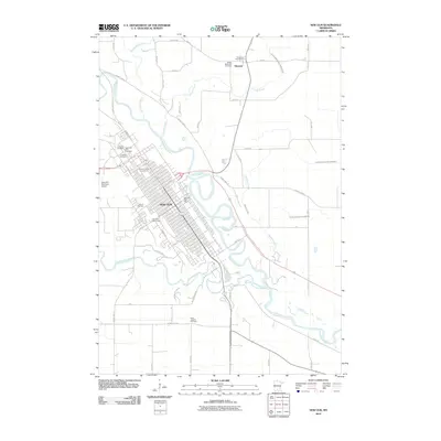
2010 Map of New Ulm
USGS Topo · Published 2010About this map
New Ulm serves as the focal point of this 2010 survey, positioned at the strategic confluence where the Cottonwood River meets the Minnesota River. The city’s historic grid is densely detailed, featuring significant landmarks such as the Hermann Monument and the Way of the Cross. To the southwest, the expansive grounds of Flandrau State Park follow the winding course of the Cottonwood, while the Brown County Fairgrounds and New Ulm Municipal Airport mark the northern and western periphery.
Find a feature on this map
54 named features on this map. Tap any name to fly to it.
Don’t see what you’re looking for? This feature index may not catch every label — zoom into the map to look around manually.
Map Details
Editions of this 2010 New Ulm Map
This is the sole edition of this map. No revisions or reprints were ever made.
Other maps of this area

1953 · New Ulm
USGS Topo · 1:250,000

1957 · New Ulm
USGS Topo · 1:250,000

1958 · New Ulm
USGS Topo · 1:250,000

1964 · Bernadotte
USGS Topo · 1:24,000

1964 · New Ulm
USGS Topo · 1:24,000

1964 · Courtland
USGS Topo · 1:24,000

1964 · Essig
USGS Topo · 1:24,000

1964 · Lafayette
USGS Topo · 1:24,000

1964 · St George
USGS Topo · 1:24,000

1965 · Hanska
USGS Topo · 1:24,000