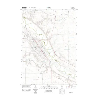
2013 Map of New Ulm
USGS Topo · Published 2013About this map
New Ulm sits at the confluence where the Cottonwood River meets the Minnesota River, serving as a cultural and educational anchor for the region. The city's grid is dense with institutional landmarks, from Martin Luther College on the heights to the Hermann Monument and the religious site known as Way of the Cross. The surrounding landscape in Nicollet and Brown counties remains predominantly agricultural, dotted with family-held lands like Stadick Farm and specialty operations such as A-Peeling Acres.
Find a feature on this map
94 named features on this map. Tap any name to fly to it.
Don’t see what you’re looking for? This feature index may not catch every label — zoom into the map to look around manually.
Map Details
Editions of this 2013 New Ulm Map
This is the sole edition of this map. No revisions or reprints were ever made.
Other maps of this area

1953 · New Ulm
USGS Topo · 1:250,000

1957 · New Ulm
USGS Topo · 1:250,000

1958 · New Ulm
USGS Topo · 1:250,000

1964 · Bernadotte
USGS Topo · 1:24,000

1964 · New Ulm
USGS Topo · 1:24,000

1964 · Courtland
USGS Topo · 1:24,000

1964 · Essig
USGS Topo · 1:24,000

1964 · Lafayette
USGS Topo · 1:24,000

1964 · St George
USGS Topo · 1:24,000

1965 · Hanska
USGS Topo · 1:24,000