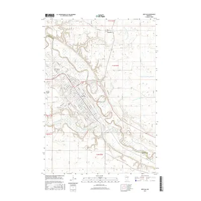
2016 Map of New Ulm
USGS Topo · Published 2016About this map
New Ulm anchors this landscape at the confluence where the Cottonwood River meets the larger Minnesota valley, defining the boundary between Nicollet and Brown counties. The city's systematic grid is dense with local institutions, including the campus of Martin Luther Coll and several major burial grounds like the Catholic Cem and New Ulm City Cem. To the north, the small settlement of Klossner sits amidst a complex network of agricultural drainage systems such as County Ditch Number Seventyseven and County Ditch Number Thirtyeight. The terrain is shaped by several water bodies, most notably Lake Cottonwood, while the western edge of the community is marked by the New Ulm Municipal Airport. This survey provides a precise view of the region's mid-2010s infrastructure, from its many rural cemeteries like Saint Josephs Cem to the winding course of Heymans Cr.
Find a feature on this map
133 named features on this map. Tap any name to fly to it.
Don’t see what you’re looking for? This feature index may not catch every label — zoom into the map to look around manually.
Map Details
Editions of this 2016 New Ulm Map
This is the sole edition of this map. No revisions or reprints were ever made.
Other maps of this area

1953 · New Ulm
USGS Topo · 1:250,000

1957 · New Ulm
USGS Topo · 1:250,000

1958 · New Ulm
USGS Topo · 1:250,000

1964 · Bernadotte
USGS Topo · 1:24,000

1964 · New Ulm
USGS Topo · 1:24,000

1964 · Courtland
USGS Topo · 1:24,000

1964 · Essig
USGS Topo · 1:24,000

1964 · Lafayette
USGS Topo · 1:24,000

1964 · St George
USGS Topo · 1:24,000

1965 · Hanska
USGS Topo · 1:24,000