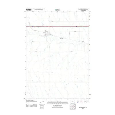
2012 Map of New Underwood
USGS Topo · Published 2012About this map
Boxelder Cr winds through this Pennington County landscape, providing a natural focal point for a region defined by its expansive agricultural grid and critical transportation corridors. The map highlights a moment in the early 2010s where the small-town infrastructure around Box Elder St and E Pine St meets the modern reach of the Interstate 90 and US Highway 14 corridor. To the south, the drainage of Bear Run carves through the terrain, while the presence of Mawl Springs suggests the importance of water sources in this Great Plains environment. The road network, including uniquely named local routes like Tightline Pl and Reride Ln, reflects the local character and rural development patterns typical of western South Dakota.
Find a feature on this map
29 named features on this map. Tap any name to fly to it.
Don’t see what you’re looking for? This feature index may not catch every label — zoom into the map to look around manually.
Map Details
Editions of this 2012 New Underwood Map
This is the sole edition of this map. No revisions or reprints were ever made.
Other maps of this area

1953 · Viewfield
USGS Topo · 1:24,000

1953 · New Underwood
USGS Topo · 1:24,000

1953 · New Underwood SW
USGS Topo · 1:24,000

1953 · Caputa
USGS Topo · 1:24,000
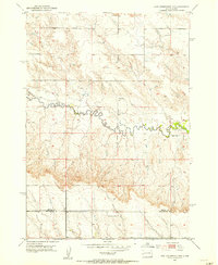
1953 · New Underwood NW
USGS Topo · 1:24,000

1953 · Caputa NE
USGS Topo · 1:24,000

1953 · Rapid City
USGS Topo · 1:250,000

1954 · Creston
USGS Topo · 1:24,000

1955 · Hot Springs
USGS Topo · 1:250,000

1957 · Rapid City
USGS Topo · 1:250,000