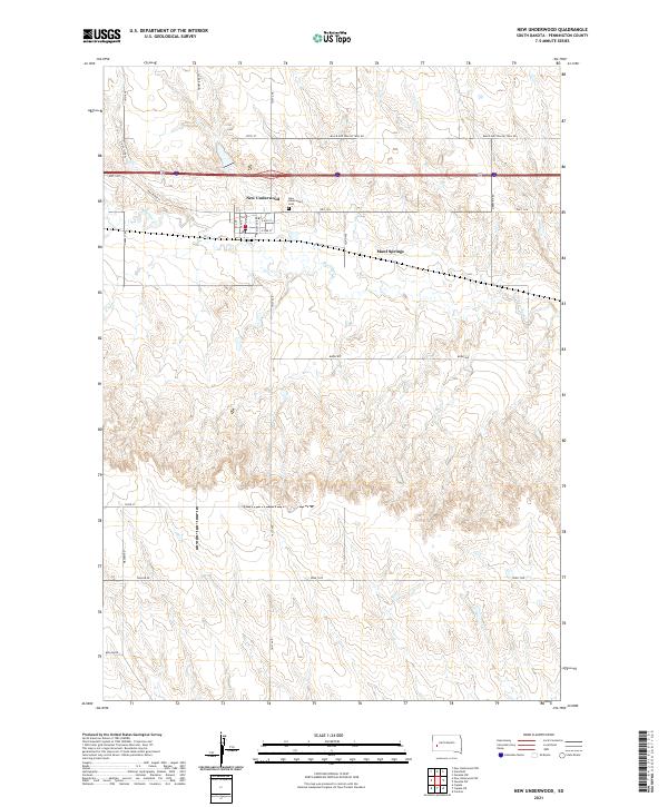
2021 Map of New Underwood
USGS Topo · Published 2021About this map
New Underwood serves as the focal point of this Pennington County landscape, situated where the historic Black And Yellow Trail Rd meets contemporary transport corridors like Hwy 1416. The town's grid is clearly defined by local streets such as S Bailey Ave and E Ash St, while the New Underwood Cem sits just north of the central settlement.
Find a feature on this map
31 named features on this map. Tap any name to fly to it.
Don’t see what you’re looking for? This feature index may not catch every label — zoom into the map to look around manually.
Map Details
Editions of this 2021 New Underwood Map
This is the sole edition of this map. No revisions or reprints were ever made.
Other maps of this area

1953 · Viewfield
USGS Topo · 1:24,000

1953 · New Underwood
USGS Topo · 1:24,000

1953 · New Underwood SW
USGS Topo · 1:24,000

1953 · Caputa
USGS Topo · 1:24,000
1953 · New Underwood NW
USGS Topo · 1:24,000

1953 · Caputa NE
USGS Topo · 1:24,000

1953 · Rapid City
USGS Topo · 1:250,000

1954 · Creston
USGS Topo · 1:24,000

1955 · Hot Springs
USGS Topo · 1:250,000

1957 · Rapid City
USGS Topo · 1:250,000