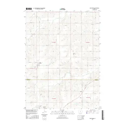
2015 Map of New Virginia
USGS Topo · Published 2015About this map
New Virginia sits at the heart of this agricultural landscape in the southern reaches of Warren County. The terrain is defined by the branching drainage of the South River and its numerous tributaries, including Broadhorn Cr, Papoose Cr, and Squaw Cr, which create a rolling pattern of ridges and valleys. Small settlements like Liberty and Jamison anchor the rural road network, which transitions across the Warren Co Clarke Co boundary.
Find a feature on this map
47 named features on this map. Tap any name to fly to it.
Don’t see what you’re looking for? This feature index may not catch every label — zoom into the map to look around manually.
Map Details
Editions of this 2015 New Virginia Map
This is the sole edition of this map. No revisions or reprints were ever made.
Other maps of this area

1931 · Indianola
USGS Topo · 1:62,500

1950 · New Virginia
USGS Topo · 1:62,500

1951 · Osceola
USGS Topo · 1:62,500

1951 · St. Charles
USGS Topo · 1:62,500

1952 · New Virginia
USGS Topo · 1:62,500

1954 · Des Moines
USGS Topo · 1:250,000

1956 · Des Moines
USGS Topo · 1:250,000

1957 · Des Moines
USGS Topo · 1:250,000

1969 · Des Moines
USGS Topo · 1:250,000
1983 · St. Charles
USGS Topo · 1:24,000