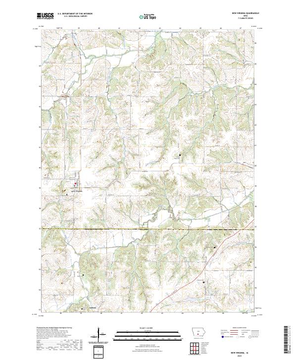
2023 Map of New Virginia
USGS Topo · Published 2023About this map
New Virginia serves as the primary hub of this southern Iowa landscape, situated just north of the Warren and Clarke County line. The settlement pattern is defined by a dense grid of rural roads and numerous small family or community burial grounds, such as Beymer Cem and Mount Tabor Cem, which offer significant value for genealogical research in this portion of the state. The terrain is deeply carved by a network of waterways including the South River and its many tributaries like Broadhorn Creek, Turkey Creek, and Box Elder Creek. In the southern portion of the quadrangle, the small community of Jamison is situated near the Jamison Cem. This survey illustrates the intricate relationship between the region's undulating drainage systems, like Skinaway Creek and West Creek, and the established agricultural road network that follows the section lines of the Public Land Survey System.
Find a feature on this map
47 named features on this map. Tap any name to fly to it.
Don’t see what you’re looking for? This feature index may not catch every label — zoom into the map to look around manually.
Map Details
Editions of this 2023 New Virginia Map
This is the sole edition of this map. No revisions or reprints were ever made.
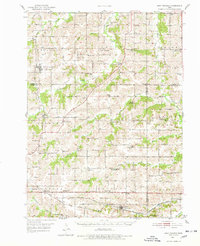
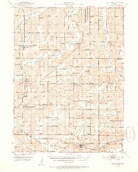
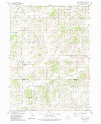
Historical Maps of New Virginia Through Time
4 maps found
Featured Locations
- Liberty, IA
- Squaw Township, IA
- Virginia Township, IA
- Jackson Township, IA
- New Virginia, Virginia Township