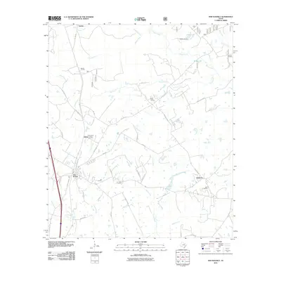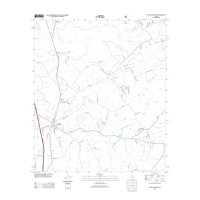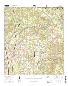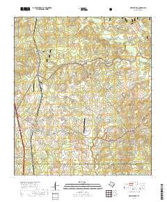
2022 Map of New Waverly
USGS Topo · Published 2022About this map
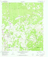
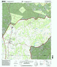
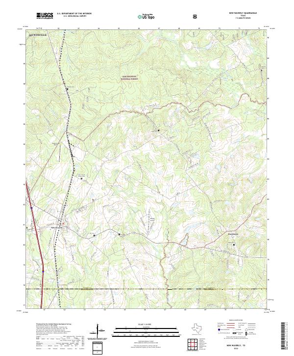
The Sam Houston National Forest dominates the northern landscape of this region, providing a dense backdrop to the rural settlements of New Waverly and Hawthorne. This territory is defined by its complex drainage systems, where Winters Bayou, Gourd Cr, and Little Caney Cr carve through the terrain. The map reveals a high density of small family and community burial grounds, such as Mitchell Cem, Hill Cem, and Saint Joseph Elmina Cem, which offer significant value for genealogical research in this part of Texas. Settlement patterns are concentrated along arterial routes like FM 1375 and FM 1097, while private aviation facilities like Sandy Creek Airport and Estates Airpark indicate modern land use adaptations within the traditional forest and farm landscape near the Walker and Montgomery County line.
Find a feature on this map
87 named features on this map. Tap any name to fly to it.
Don’t see what you’re looking for? This feature index may not catch every label — zoom into the map to look around manually.
Map Details
Editions of this 2022 New Waverly Map
This is the sole edition of this map. No revisions or reprints were ever made.
Historical Maps of New Waverly Through Time
7 maps found