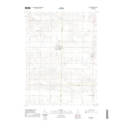
2021 Map of New Windsor
USGS Topo · Published 2021About this map
The village of New Windsor serves as a central hub in this western Illinois landscape, where a grid of rural roads connects agricultural homesteads with small townships. Local history is anchored by several burial grounds, including New Windsor Cem and Calvary Cem, situated near the village's street grid of Main St, Walnut St, and Sycamore St. To the east, the settlement of Alpha sits near the border of Henry County, accompanied by Alpha Cem. The terrain is defined by the drainage patterns of N Pope Cr and Pope Cr, which carve through the farmland. Traces of older transit routes appear in names like Knoxville Trl, while the tri-county corner of Mercer, Henry, and Knox counties meets in the southern portion of the map, illustrating the intersection of regional jurisdictions.
Find a feature on this map
36 named features on this map. Tap any name to fly to it.
Don’t see what you’re looking for? This feature index may not catch every label — zoom into the map to look around manually.
Map Details
Editions of this 2021 New Windsor Map
This is the sole edition of this map. No revisions or reprints were ever made.
Other maps of this area

1912 · Milan
USGS Topo · 1:62,500

1923 · Alexis
USGS Topo · 1:62,500

1925 · Alexis
USGS Topo · 1:62,500

1937 · Orion
USGS Topo · 1:62,500

1944 · Milan
USGS Topo · 1:62,500

1947 · Woodhull
USGS Topo · 1:62,500

1953 · Woodhull
USGS Topo · 1:24,000

1953 · Viola
USGS Topo · 1:24,000
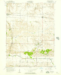
1953 · Andover
USGS Topo · 1:24,000
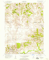
1953 · Matherville
USGS Topo · 1:24,000