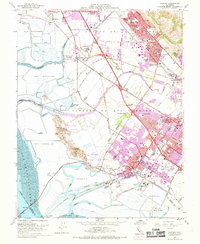
1959 Map of Newark
USGS Topo · Published 1969About this map
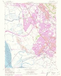
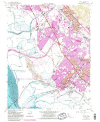
Salt evaporators dominate the marshy landscape of the East Bay in this late 1950s record, as industrial and suburban expansion begins to reshape the shoreline. The transition of independent communities is visible as Union City and Fremont encompass older settlements like Alvarado and Decoto. Large industrial footprints, such as the Sugar Refinery and Salt Refinery, stand alongside the growing network of the Nimitz Freeway and established rail lines of the Southern Pacific and Western Pacific.
Find a feature on this map
112 named features on this map. Tap any name to fly to it.
Don’t see what you’re looking for? This feature index may not catch every label — zoom into the map to look around manually.
Map Details
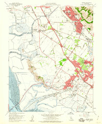
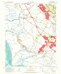
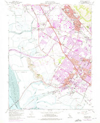
Editions of this 1959 Newark Map
6 editions found
Other maps of this area

1889 · San Jose
USGS Topo · 1:62,500

1897 · San Jose
USGS Topo · 1:62,500

1897 · Palo Alto
USGS Topo · 1:62,500

1899 · San Jose
USGS Topo · 1:62,500

1899 · Palo Alto
USGS Topo · 1:62,500

1899 · Haywards
USGS Topo · 1:62,500

1902 · Santa Cruz
USGS Topo · 1:125,000

1906 · Pleasanton
USGS Topo · 1:62,500

1915 · Haywards
USGS Topo · 1:62,500

1941 · Pleasanton
USGS Topo · 1:62,500