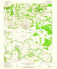
1962 Map of Newark
USGS Topo · Published 1963About this map
White River meanders across this landscape, defining the boundaries of massive alluvial plains like Big Bottom and Padgett Island. The 1960s riverfront remains largely traditional, featuring the Oil Trough Ferry providing a crossing to the settlement of Oil Trough in the south. The area's settlement pattern is heavily influenced by the Missouri Pacific railroad, which tethers the towns of Newark and Magness to the regional economy. Beyond the towns, the map reveals a dense network of local genealogy markers, including Akron Cem and Macedonia Cem, alongside rural landmarks like Mt Zion Ch and the Fish Hatchery near the rail line. The transition from the higher ground of Wycough and Logan to the wetlands of Hulsey Bend and Bear Wallow Slough illustrates a classic Arkansas river valley agricultural system.
Find a feature on this map
60 named features on this map. Tap any name to fly to it.
Don’t see what you’re looking for? This feature index may not catch every label — zoom into the map to look around manually.
Map Details
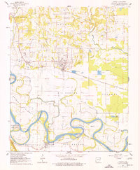
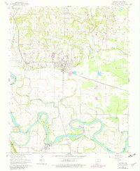
Editions of this 1962 Newark Map
3 editions found
Other maps of this area

1890 · Batesville
USGS Topo · 1:125,000

1891 · Batesville
USGS Topo · 1:125,000

1932 · Strawberry
USGS Topo · 1:62,500

1935 · Strawberry
USGS Topo · 1:62,500

1935 · Newport
USGS Topo · 1:62,500

1941 · Strawberry
USGS Topo · 1:62,500

1942 · Salado
USGS Topo · 1:31,680

1943 · Sulphur Rock
USGS Topo · 1:31,680

1953 · Memphis
USGS Topo · 1:250,000

1954 · Charlotte
USGS Topo · 1:24,000