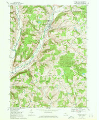
1969 Map of Newark Valley
USGS Topo · Published 1971About this map
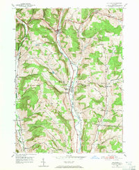
Newark Valley sits at the confluence of the West Branch Owego Creek and the East Branch Owego Creek, serving as the primary hub for this Tioga County landscape in the late 1960s. The village is anchored by the Central Sch and several religious landmarks, including St Johns Ch and the nearby St Johns Cem. The Lehigh Valley railroad line parallels the main waterway, tracing the valley floor south toward Flemingville, while the surrounding uplands are defined by ridges like Prentice Hill and Dean Hill. These hills are dotted with small rural outposts like West Newark and Weltonville. Large tracts of the eastern terrain are preserved as the Oakley Corners State Forest, where the topography becomes more complex with features such as Alexander Lake and the Holder Pond headwaters.
Find a feature on this map
68 named features on this map. Tap any name to fly to it.
Don’t see what you’re looking for? This feature index may not catch every label — zoom into the map to look around manually.
Map Details
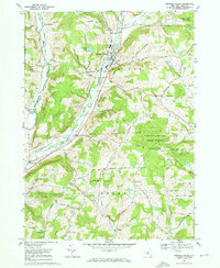
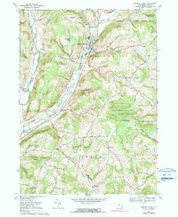
Editions of this 1969 Newark Valley Map
3 editions found
Other maps of this area

1900 · Dryden
USGS Topo · 1:62,500

1901 · Apalachin
USGS Topo · 1:62,500

1903 · Owego
USGS Topo · 1:62,500

1903 · Harford
USGS Topo · 1:62,500

1904 · Apalachin
USGS Topo · 1:62,500

1906 · Catatonk
USGS Topo · 1:125,000

1949 · Speedsville
USGS Topo · 1:24,000
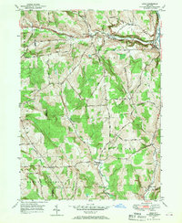
1949 · Lisle
USGS Topo · 1:24,000

1950 · Elmira
USGS Topo · 1:250,000
1950 · Richford
USGS Topo · 1:24,000