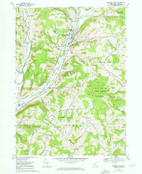
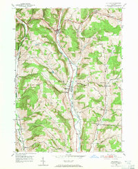
1969 Map of Newark Valley
USGS Topo · Published 1972About this map
The Newark Valley area is defined by the prominent course of the East Branch Owego Creek, where the valley floor hosts the primary concentration of settlement and industry. In this 1969 survey, the Lehigh Valley railroad line parallels the creek, threading through the village and connecting smaller outposts like Flemingville. The surrounding uplands are marked by numerous family-named peaks such as Prentice Hill and Courtright Hill, illustrating a landscape where agricultural clearings meet expanding woodland tracts. Significant public lands are visible at the eastern edge, including the Oakley Corners State Forest and a portion of Ketchumville State Forest. Local community life is rooted in sites like St Johns Ch, the Central Hall Sch, and the East Beecher Hill Community Club, while the area's history is preserved in quiet grounds like Hope Cem and St Johns Cem.
Find a feature on this map
53 named features on this map. Tap any name to fly to it.
Don’t see what you’re looking for? This feature index may not catch every label — zoom into the map to look around manually.
Map Details
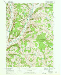
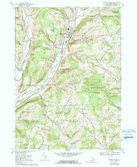
Editions of this 1969 Newark Valley Map
3 editions found
Other maps of this area

1900 · Dryden
USGS Topo · 1:62,500

1901 · Apalachin
USGS Topo · 1:62,500

1903 · Owego
USGS Topo · 1:62,500

1903 · Harford
USGS Topo · 1:62,500

1904 · Apalachin
USGS Topo · 1:62,500

1906 · Catatonk
USGS Topo · 1:125,000

1949 · Speedsville
USGS Topo · 1:24,000
1949 · Lisle
USGS Topo · 1:24,000

1950 · Elmira
USGS Topo · 1:250,000
1950 · Richford
USGS Topo · 1:24,000