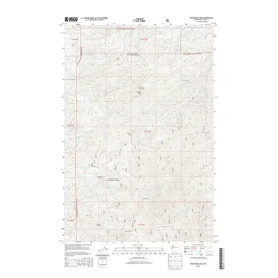
2013 Map of Newaukum Lake
USGS Topo · Published 2013About this map
Snoqualmie National Forest dominates this mountain landscape, where the headwaters of several major regional river systems emerge from the high ridges of Lewis County. The topography is defined by the divides between the Skookumchuck River, the W Fork Deschutes River, and the S Fork Newaukum River. High-altitude vantage points are marked by the Huckleberry Mountain Lookout and Newaukum Lookout, while prominent geological features like Rooster Rock and Lookout Peak provide landmark navigation points across the timbered terrain. A network of Forest Service development roads, such as Nat For Dev Rd 7112, provides the primary access to the remote Newaukum Lake and the deep drainage of Bear Canyon. The map reveals a specialized environment focused on resource management and fire lookout observation in the early twenty-first century.
Find a feature on this map
36 named features on this map. Tap any name to fly to it.
Don’t see what you’re looking for? This feature index may not catch every label — zoom into the map to look around manually.
Map Details
Editions of this 2013 Newaukum Lake Map
This is the sole edition of this map. No revisions or reprints were ever made.
Other maps of this area

1916 · Chehalis
USGS Topo · 1:125,000

1937 · Eatonville
USGS Topo · 1:125,000

1941 · Tanwax Lake
USGS Topo · 1:62,500

1943 · Willapa
USGS Topo · 1:62,500

1944 · Yelm
USGS Topo · 1:62,500

1944 · Ohop Valley
USGS Topo · 1:62,500

1949 · Ohop Valley
USGS Topo · 1:62,500

1949 · Yelm
USGS Topo · 1:62,500

1953 · Hoquiam
USGS Topo · 1:250,000

1954 · Onalaska
USGS Topo · 1:62,500