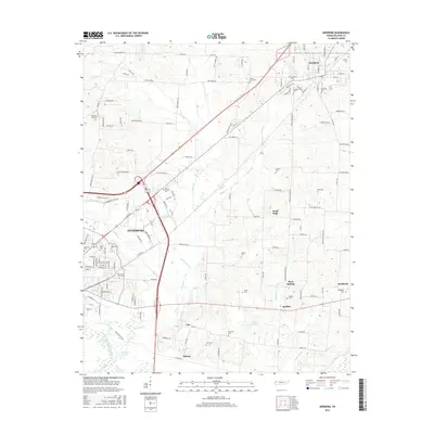
2016 Map of Newbern
USGS Topo · Published 2016About this map
The city of Dyersburg and the town of Newbern anchor this survey of the West Tennessee landscape, where the flatlands are carved by a network of drainage canals and small creeks. The terrain is marked by numerous family and community burial grounds, including Hurricane Hill Cem and Church Grove Cem, reflecting the deep-rooted settlement patterns of the region. Local hydrology is defined by the winding paths of Lewis Cr and Jones Cr, alongside man-made improvements like Parker Ditch. Small communities such as Good Hope, Roellen, and Rock Springs are scattered throughout the agricultural landscape, connected by a dense grid of rural roads. The southern portion of the map features several localized water bodies, including Bishops Lake and Pillow Lake, situated near the small settlements of Bishop and Viar.
Find a feature on this map
84 named features on this map. Tap any name to fly to it.
Don’t see what you’re looking for? This feature index may not catch every label — zoom into the map to look around manually.
Map Details
Editions of this 2016 Newbern Map
This is the sole edition of this map. No revisions or reprints were ever made.
Other maps of this area

1939 · Dyersburg
USGS Topo · 1:62,500

1939 · Halls
USGS Topo · 1:62,500

1952 · Bonicord
USGS Topo · 1:24,000

1952 · Newbern
USGS Topo · 1:24,000

1952 · Lane
USGS Topo · 1:24,000

1952 · Dyersburg
USGS Topo · 1:24,000

1952 · Miston
USGS Topo · 1:24,000

1952 · Fowlkes
USGS Topo · 1:24,000

1956 · Dyersburg
USGS Topo · 1:250,000

1956 · Blytheville
USGS Topo · 1:250,000