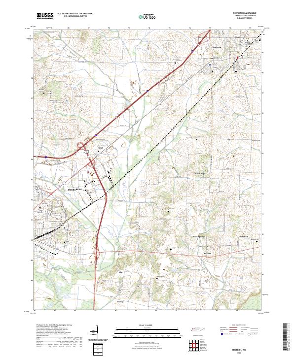
2022 Map of Newbern
USGS Topo · Published 2022About this map
Dyersburg and Newbern anchor this survey of western Tennessee, where the landscape is defined by the winding course of the North Fork Forked Deer River and its numerous tributaries. The map documents a territory transitioning from the urban centers of Dyer County into a patchwork of rural homesteads and agricultural plots. This rural character is reflected in the high density of family and community burial grounds, such as Hurricane Hill Cem, Reynolds Cem, and Gauldin Cem, which serve as vital markers for genealogical research in the region.
Find a feature on this map
93 named features on this map. Tap any name to fly to it.
Don’t see what you’re looking for? This feature index may not catch every label — zoom into the map to look around manually.
Map Details
Editions of this 2022 Newbern Map
This is the sole edition of this map. No revisions or reprints were ever made.
Other maps of this area

1939 · Dyersburg
USGS Topo · 1:62,500

1939 · Halls
USGS Topo · 1:62,500

1952 · Bonicord
USGS Topo · 1:24,000

1952 · Newbern
USGS Topo · 1:24,000

1952 · Lane
USGS Topo · 1:24,000

1952 · Dyersburg
USGS Topo · 1:24,000

1952 · Miston
USGS Topo · 1:24,000

1952 · Fowlkes
USGS Topo · 1:24,000

1956 · Dyersburg
USGS Topo · 1:250,000

1956 · Blytheville
USGS Topo · 1:250,000