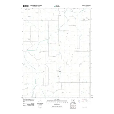
2010 Map of Newbern
USGS Topo · Published 2010About this map
Newbern and Bauer appear as central rural nodes in this landscape defined by the intricate winding of White Breast Creek and its many tributaries. The area is marked by an exceptional density of family and community burial grounds, illustrating a deep genealogical history across the township. From the Rosemount Cemetery in the northwest to the Pine Hill Cemetery near Wildcat Creek in the southeast, these sites provide anchor points for local heritage. The terrain is crisscrossed by a network of drainage ways including Winn Branch, Long Branch, and Stony Creek, which have shaped the placement of the roads and small settlements like Rosemount. This map documents a quiet, agrarian region where the names of early settlers remain preserved on the land through landmarks like the Cochran Cemetery and Willis Cemetery.
Find a feature on this map
67 named features on this map. Tap any name to fly to it.
Don’t see what you’re looking for? This feature index may not catch every label — zoom into the map to look around manually.
Map Details
Editions of this 2010 Newbern Map
This is the sole edition of this map. No revisions or reprints were ever made.
Other maps of this area

1909 · Knoxville
USGS Topo · 1:62,500

1910 · Milo
USGS Topo · 1:62,500

1912 · Knoxville
USGS Topo · 1:62,500

1918 · Chariton
USGS Topo · 1:62,500

1924 · Melcher
USGS Topo · 1:62,500

1954 · Des Moines
USGS Topo · 1:250,000

1956 · Des Moines
USGS Topo · 1:250,000

1957 · Des Moines
USGS Topo · 1:250,000

1965 · Milo
USGS Topo · 1:24,000
1965 · Knoxville SW
USGS Topo · 1:24,000
Featured Places
- Melcher-Dallas, IA
- White Breast Township, IA
- Dallas Township, IA
- Franklin Township, IA
- Belmont Township, IA