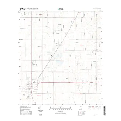
2015 Map of Newberry
USGS Topo · Published 2015About this map
The city of Newberry serves as the primary hub in this western Alachua County landscape, where the intersection of state and local routes anchors a community established during the late nineteenth-century phosphate boom. The map detail reflects the transition from town centers to rural acreage, prominently featuring the unincorporated communities of Jonesville to the east and Haile along the central rail corridor. Genealogists can locate several historic burial sites, including the Newberry Municipal Cem, Jonesville Cem, and Forest Grove Cem situated near the settlement of Forest Grove. The northern reaches of the quadrangle include the smaller locales of Wade and Cadillac, while landmarks like Sullivan Field indicate local community gathering points amidst the grid of county roads.
Find a feature on this map
68 named features on this map. Tap any name to fly to it.
Don’t see what you’re looking for? This feature index may not catch every label — zoom into the map to look around manually.
Map Details
Editions of this 2015 Newberry Map
This is the sole edition of this map. No revisions or reprints were ever made.
Other maps of this area

1890 · Arredondo
USGS Topo · 1:62,500

1892 · Arredondo
USGS Topo · 1:62,500

1894 · Arredondo
USGS Topo · 1:62,500

1954 · Gainesville
USGS Topo · 1:250,000

1958 · Gainesville
USGS Topo · 1:250,000

1959 · Gainesville
USGS Topo · 1:250,000

1962 · High Springs
USGS Topo · 1:24,000

1966 · Gainesville West
USGS Topo · 1:24,000

1966 · Arredondo
USGS Topo · 1:24,000
1966 · Alachua
USGS Topo · 1:24,000