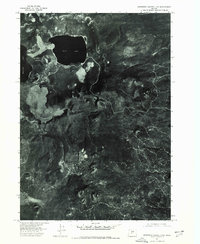
1974 Map of Newberry Crater 4 NW
USGS Topo · Published 1978About this map
Newberry Crater dominates this mid-1970s orthophotograph, revealing the stark volcanic textures of the Oregon Cascades through high-altitude aerial imagery. The sheet focuses on the caldera's interior, where the dark, expansive waters of East Lake and the eastern edge of Paulina Lake are clearly visible against the complex flows and cinder formations of the crater floor. Beyond the immediate caldera rim to the south, the landscape shifts toward the isolated volcanic prominence of Box Butte. This 1974 survey captures the distinct vegetative patterns and geological structures of the high desert environment before modern recreational development intensified, providing a clear record of the volcanic landforms and the primitive road network winding through the pumice-heavy terrain.
Find a feature on this map
4 named features on this map. Tap any name to fly to it.
Don’t see what you’re looking for? This feature index may not catch every label — zoom into the map to look around manually.
Map Details
Editions of this 1974 Newberry Crater 4 NW Map
This is the sole edition of this map. No revisions or reprints were ever made.
Other maps of this area

1931 · Newberry Crater
USGS Topo · 1:125,000

1935 · Newberry Crater
USGS Topo · 1:125,000

1955 · Crescent
USGS Topo · 1:250,000

1957 · Crescent
USGS Topo · 1:250,000

1958 · Crescent
USGS Topo · 1:250,000
1963 · Lava Cast Forest
USGS Topo · 1:24,000
1963 · Spring Butte
USGS Topo · 1:24,000
1963 · Paulina Peak
USGS Topo · 1:24,000
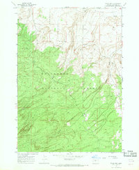
1967 · Evans Well
USGS Topo · 1:24,000
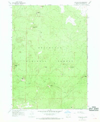
1967 · Fuzztail Butte
USGS Topo · 1:24,000