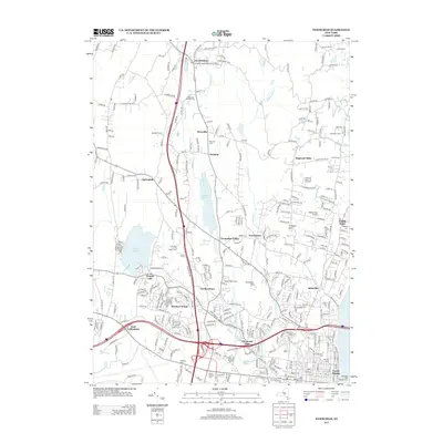
2013 Map of Newburgh
USGS Topo · Published 2013About this map
Quassaic Creek and Gidneytown Creek drain this landscape, flowing south toward the residential and commercial hubs of Balmville and the northern outskirts of Newburgh. The area exhibits a pattern of suburban growth interlaced with established local institutions, such as Mt Saint Mary College and the Middle Hope Airport. Larger water bodies like Chadwick Lake and Orange Lake serve as focal points for settlements like Cronomer Valley and Leptondale, reflecting the region's development around its natural hydrology.
Find a feature on this map
328 named features on this map. Tap any name to fly to it.
Don’t see what you’re looking for? This feature index may not catch every label — zoom into the map to look around manually.
Map Details
Editions of this 2013 Newburgh Map
This is the sole edition of this map. No revisions or reprints were ever made.
Other maps of this area

1892 · West Point
USGS Topo · 1:62,500

1893 · Poughkeepsie
USGS Topo · 1:62,500

1894 · West Point
USGS Topo · 1:62,500

1894 · Poughkeepsie
USGS Topo · 1:62,500

1899 · West Point
USGS Topo · 1:62,500

1901 · West Point
USGS Topo · 1:62,500

1902 · Schunemunk
USGS Topo · 1:62,500

1903 · Poughkeepsie
USGS Topo · 1:62,500

1903 · Newburg
USGS Topo · 1:62,500

1930 · Schunemunk
USGS Topo · 1:48,000