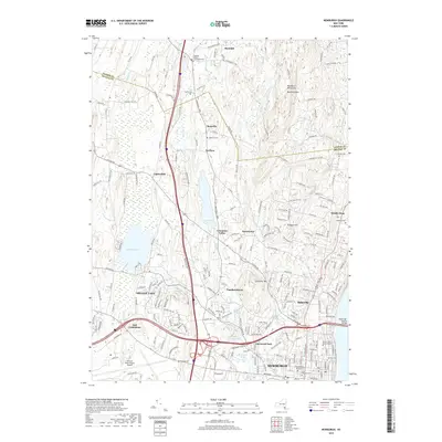
2019 Map of Newburgh
USGS Topo · Published 2019About this map
Newburgh and its northern suburbs are meticulously detailed in this recent record of the Hudson Valley, showing the transition from dense urban street grids to the hills of the Marlboro Mountains. The map traces the critical transportation corridors of the region, from the Newburgh-Beacon Bridge spanning the river to the sprawling grounds of Stewart International Airport. For genealogists and local historians, the sheet is exceptionally rich in burial sites, documenting several centuries of local history through the Old Town Cem, Temple Beth Jacob Cem, and the Plattekill Valley Community Cem. Inland, the landscape is defined by the waters of Orange Lake and Chadwick Lake, surrounded by small settlements like Cronomer Valley and Leptondale that maintain a distinct character amidst the regional growth of Orange and Ulster counties.
Find a feature on this map
216 named features on this map. Tap any name to fly to it.
Don’t see what you’re looking for? This feature index may not catch every label — zoom into the map to look around manually.
Map Details
Editions of this 2019 Newburgh Map
This is the sole edition of this map. No revisions or reprints were ever made.
Other maps of this area

1892 · West Point
USGS Topo · 1:62,500

1893 · Poughkeepsie
USGS Topo · 1:62,500

1894 · West Point
USGS Topo · 1:62,500

1894 · Poughkeepsie
USGS Topo · 1:62,500

1899 · West Point
USGS Topo · 1:62,500

1901 · West Point
USGS Topo · 1:62,500

1902 · Schunemunk
USGS Topo · 1:62,500

1903 · Poughkeepsie
USGS Topo · 1:62,500

1903 · Newburg
USGS Topo · 1:62,500

1930 · Schunemunk
USGS Topo · 1:48,000