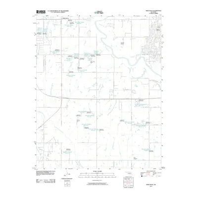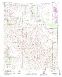
1965 Map of Newcastle
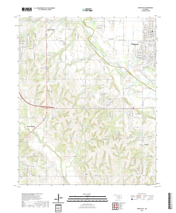
USGS Topo · Published 1983About this map
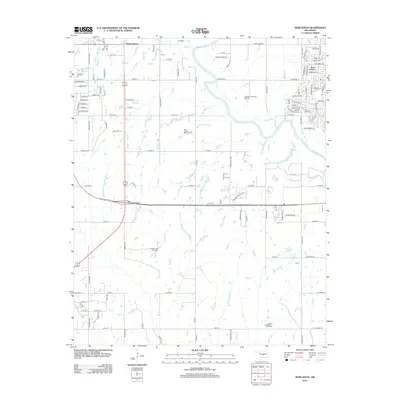
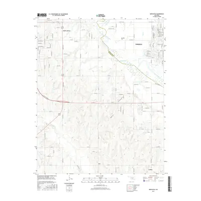
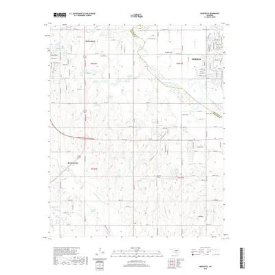
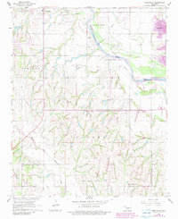
The Canadian River cuts through the center of this landscape, separating the developing outskirts of Newcastle from the expanding reach of Norman. Based on 1960s field data with revisions into the early 1980s, the map illustrates the transition from rural agricultural land to suburban settlement. While the river corridor remains a dominant geographical divider, the southern half of the sheet is defined by the winding course of North Fork Walnut Creek, where the terrain begins to break away from the river valley. The map documents a specific period of growth for the Oklahoma City metropolitan fringe, showing how local infrastructure started to fill the spaces between established community centers and the riparian lowlands.
Find a feature on this map
4 named features on this map. Tap any name to fly to it.
Don’t see what you’re looking for? This feature index may not catch every label — zoom into the map to look around manually.
Map Details
Editions of this 1965 Newcastle Map
4 editions found
Historical Maps of Norman Through Time
6 maps found