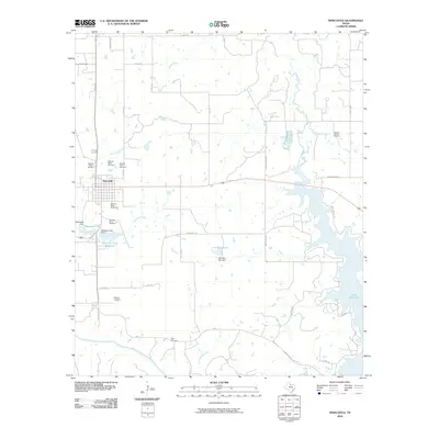
2010 Map of Newcastle
USGS Topo · Published 2010About this map
Newcastle serves as the central hub of this Young County landscape, surrounded by an extensive network of extractive industry sites. The town's economic history is etched into the terrain through a series of numbered operations, including Belknap Mine Number 1 through Belknap Mine Number 5, which cluster south and west of the residential center. This concentration of mines suggests a landscape deeply defined by coal production during the era these sites were active.
Find a feature on this map
41 named features on this map. Tap any name to fly to it.
Don’t see what you’re looking for? This feature index may not catch every label — zoom into the map to look around manually.
Map Details
Editions of this 2010 Newcastle Map
This is the sole edition of this map. No revisions or reprints were ever made.
Other maps of this area

1924 · Graham 4-d
USGS Topo · 1:48,000

1925 · Graham 4-c
USGS Topo · 1:48,000

1927 · Graham
USGS Topo · 1:62,500

1954 · Wichita Falls
USGS Topo · 1:250,000

1958 · Wichita Falls
USGS Topo · 1:250,000

1964 · Newcastle
USGS Topo · 1:24,000

1964 · True
USGS Topo · 1:24,000

1964 · Loving
USGS Topo · 1:24,000

1964 · Lake Eddleman
USGS Topo · 1:24,000

1964 · Olney
USGS Topo · 1:24,000