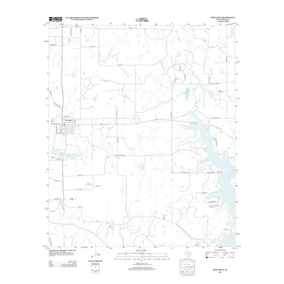
2013 Map of Newcastle
USGS Topo · Published 2013About this map
Newcastle serves as the central hub of this Young County landscape, situated amidst a complex network of waterways and rural roads. The area is defined by the winding course of the Brazos River in the south and the significant presence of Lake Eddleman to the east. The landscape's agricultural and historical character is evidenced by numerous family and community landmarks, including Indian Mound Cem, Belknap Cem, and Wray Cem, which offer vital touchpoints for genealogical research. Water management is a prominent feature of the terrain, visible through the Whiskey Cr Reservoir and Newcastle Lake, alongside named tributaries like Jim Anderson Cr and Salt Cr. The grid of named rural routes, such as Stephens Ln and Bullock Rd, reflects the established land divisions of this Texas region in the early 21st century.
Find a feature on this map
62 named features on this map. Tap any name to fly to it.
Don’t see what you’re looking for? This feature index may not catch every label — zoom into the map to look around manually.
Map Details
Editions of this 2013 Newcastle Map
This is the sole edition of this map. No revisions or reprints were ever made.
Other maps of this area

1924 · Graham 4-d
USGS Topo · 1:48,000

1925 · Graham 4-c
USGS Topo · 1:48,000

1927 · Graham
USGS Topo · 1:62,500

1954 · Wichita Falls
USGS Topo · 1:250,000

1958 · Wichita Falls
USGS Topo · 1:250,000

1964 · Newcastle
USGS Topo · 1:24,000

1964 · True
USGS Topo · 1:24,000

1964 · Loving
USGS Topo · 1:24,000

1964 · Lake Eddleman
USGS Topo · 1:24,000

1964 · Olney
USGS Topo · 1:24,000