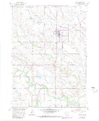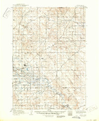
1913 Map of Newell
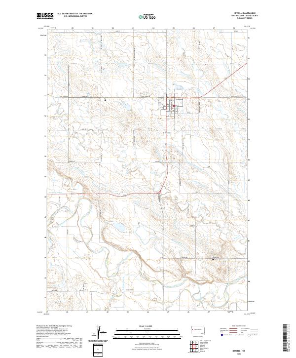
USGS Topo · Published 1950About this map
Newell serves as the primary hub of this landscape, situated at the terminus of the Chicago and Northwestern railroad. The map documents a critical transition in western South Dakota land use as the U.S. Reclamation Service introduced irrigation ditches for the Belle Fourche project in 1913, overlaying a complex water system onto the natural drainage of the Belle Fourche River. Historical movement across the plains is evident through the path of the Bismarck Trail and the Deadwood Trail, which intersect the terrain near prominent landmarks like Owl Butte and Station Elm. From the northern heights of Castle Rock and Deer Ears down to the southern reaches of Ninemile Creek, the map details a region defined by its reliance on both traditional river systems and new industrial engineering. Small outposts like Rothford and Ball anchor the northern reaches, while Butte Hall stands near the confluence of Whitewood Creek and the main river.
Find a feature on this map
31 named features on this map. Tap any name to fly to it.
Don’t see what you’re looking for? This feature index may not catch every label — zoom into the map to look around manually.
Map Details
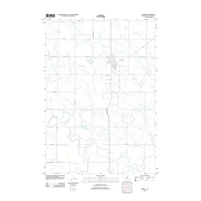
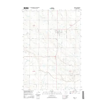
Editions of this 1913 Newell Map
2 editions found

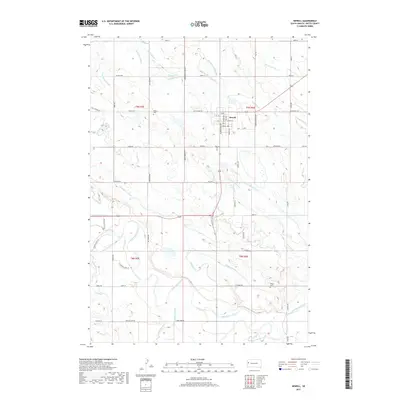
Historical Maps of Newell Through Time
6 maps found