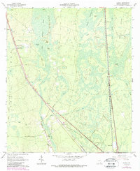
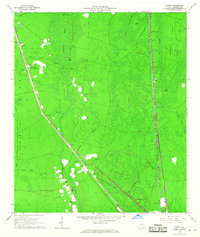
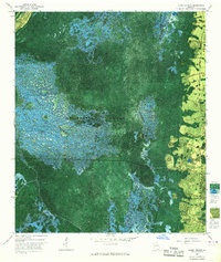
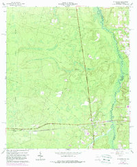
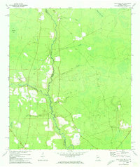
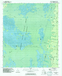
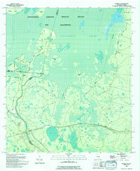
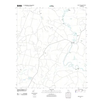
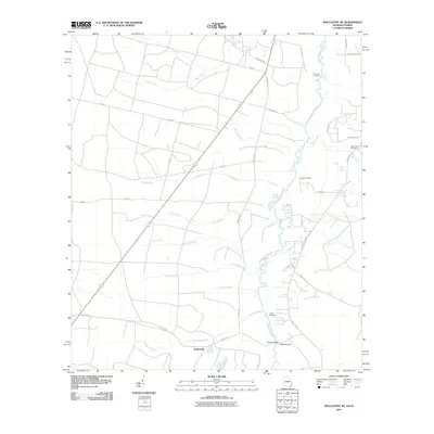
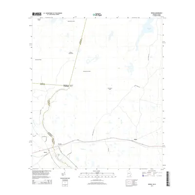
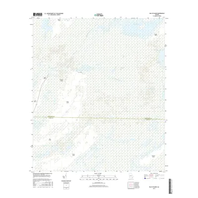
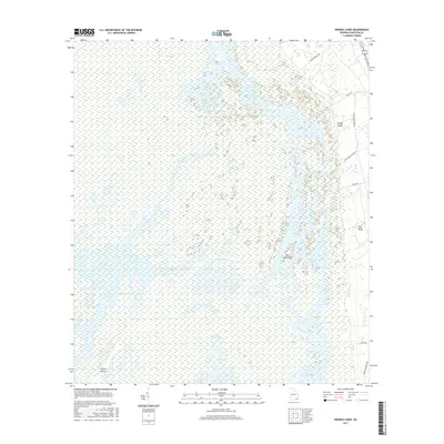
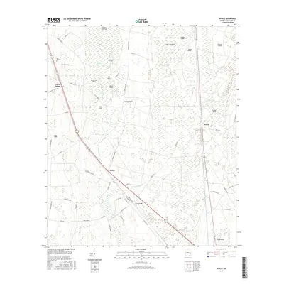
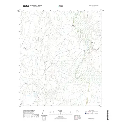
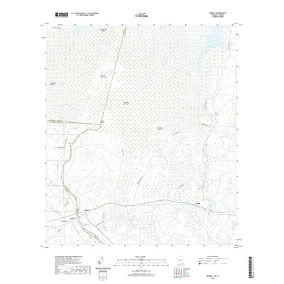
1966 Map of Newell
USGS Topo · Published 1988About this map
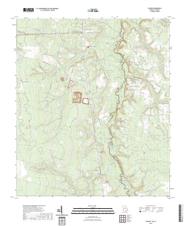
Trail Ridge forms the backbone of this Charlton County landscape, separating the dense wetlands of the Okefenokee Swamp from the drainage basins of Spanish Creek and Baileys Branch. During the mid-1960s, the area's geography was defined by the Seaboard Coast Line railroad and a network of named trails and country roads, such as Chicken Farm Road and Crews Road. Local life centered around small rail-side settlements and rural congregations, including Sand Hill Ch, Racepond Ch, and Grace Chapel.
Find a feature on this map
39 named features on this map. Tap any name to fly to it.
Don’t see what you’re looking for? This feature index may not catch every label — zoom into the map to look around manually.
Map Details
Editions of this 1966 Newell Map
2 editions found
Historical Maps of Homeland Through Time
77 maps found
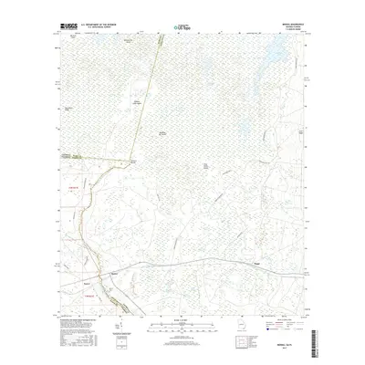
1918 Moniac
Charlton County, GA
1942 Moniac
Charlton County, GA
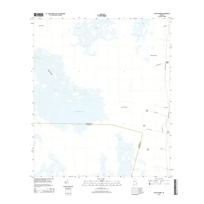
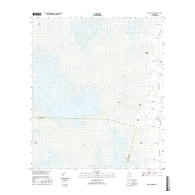
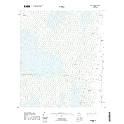
1965 Chase Prairie
Charlton County, GA
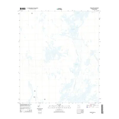
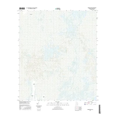
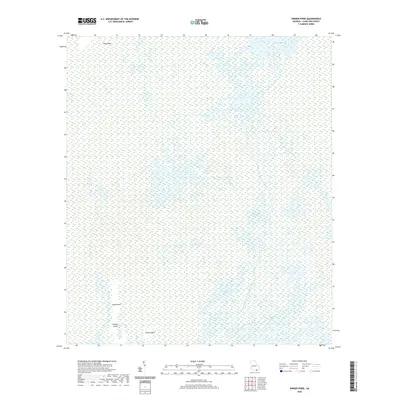
1965 Dinner Pond
Charlton County, GA
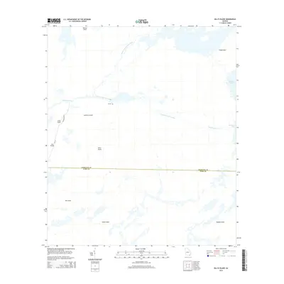
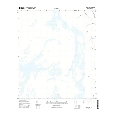
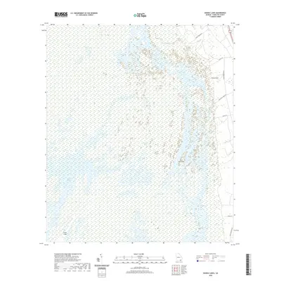
1965 Double Lakes
Charlton County, GA
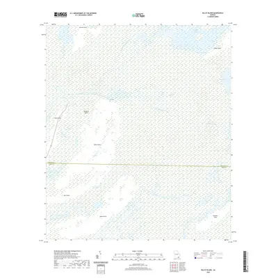
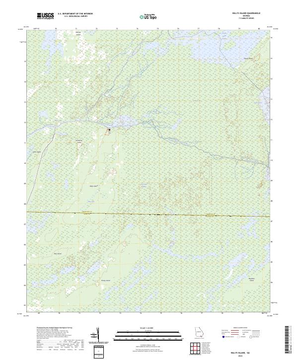
1966 Billys Island
Charlton County, GA
1966 Newell
Charlton County, GA
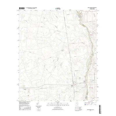
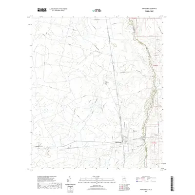
1966 St George
Charlton County, GA
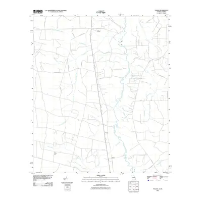
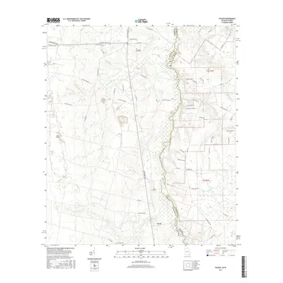
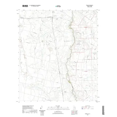
1966 Toledo
Charlton County, GA
1967 Moniac
Charlton County, GA
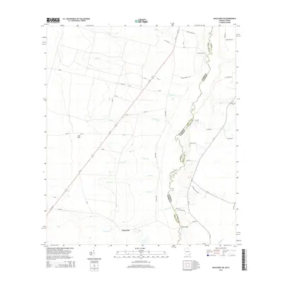
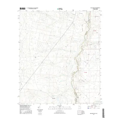
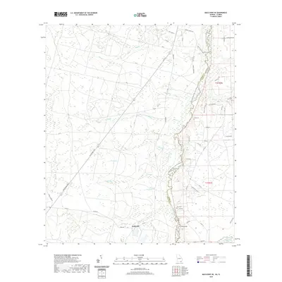
1972 Macclenny NE
Charlton County, GA
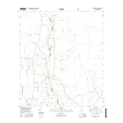
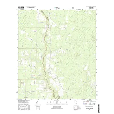
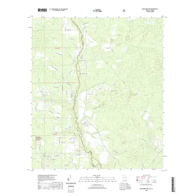
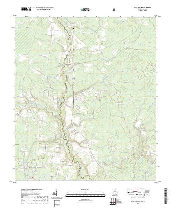
1972 Macclenny NW
Charlton County, GA
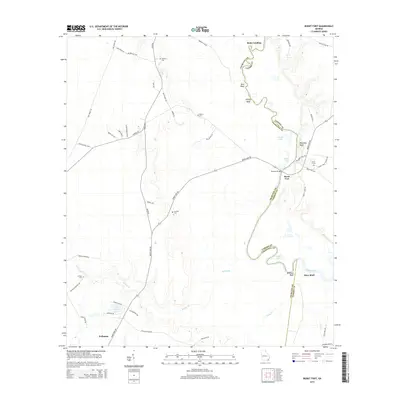
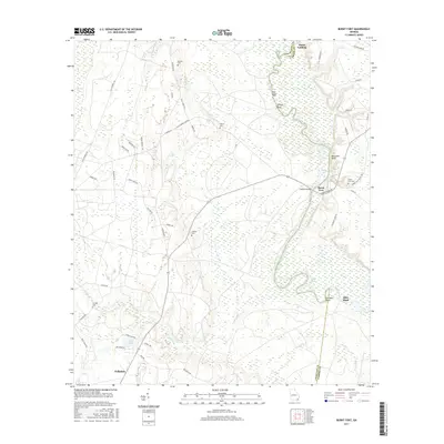
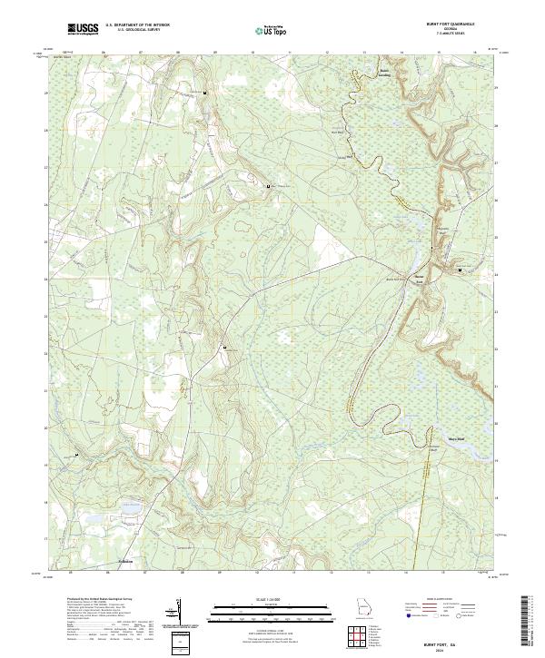
1978 Burnt Fort
Charlton County, GA
1993 Burnt Fort
Charlton County, GA
1994 Billys Island
Charlton County, GA
1994 Chase Prairie
Charlton County, GA
1994 Dinner Pond
Charlton County, GA
1994 Double Lakes
Charlton County, GA
1994 Macclenny NW
Charlton County, GA
1994 Moniac
Charlton County, GA
1994 Saint George
Charlton County, GA
1994 Toledo
Charlton County, GA
2011 Billys Island
Charlton County, GA
2011 Burnt Fort
Charlton County, GA
2011 Chase Prairie
Charlton County, GA
2011 Dinner Pond
Charlton County, GA
2011 Double Lakes
Charlton County, GA
2011 Macclenny NE
Charlton County, GA
2011 Macclenny NW
Charlton County, GA
2011 Moniac
Charlton County, GA

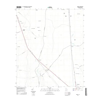
2011 Newell
Charlton County, GA
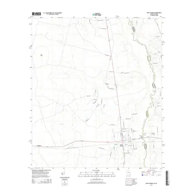
2011 Saint George
Charlton County, GA
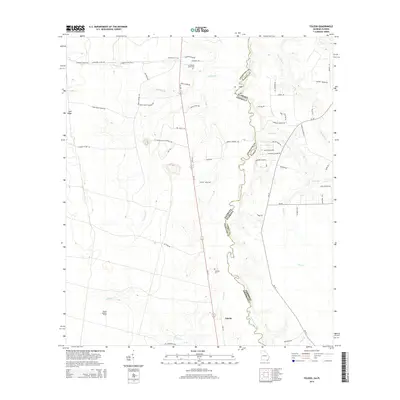
2011 Toledo
Charlton County, GA
2014 Billys Island
Charlton County, GA
2014 Burnt Fort
Charlton County, GA
2014 Chase Prairie
Charlton County, GA
2014 Dinner Pond
Charlton County, GA
2014 Double Lakes
Charlton County, GA
2014 Macclenny NE
Charlton County, GA
2014 Macclenny NW
Charlton County, GA
2014 Moniac
Charlton County, GA
2014 Newell
Charlton County, GA
2014 Saint George
Charlton County, GA
2014 Toledo
Charlton County, GA
2017 Billys Island
Charlton County, GA
2017 Burnt Fort
Charlton County, GA
2017 Chase Prairie
Charlton County, GA
2017 Dinner Pond
Charlton County, GA
2017 Double Lakes
Charlton County, GA
2017 Macclenny NE
Charlton County, GA
2017 Macclenny NW
Charlton County, GA
2017 Moniac
Charlton County, GA
2017 Newell
Charlton County, GA
2017 Saint George
Charlton County, GA
2017 Toledo
Charlton County, GA
2020 Billys Island
Charlton County, GA
2020 Burnt Fort
Charlton County, GA
2020 Chase Prairie
Charlton County, GA
2020 Dinner Pond
Charlton County, GA
2020 Double Lakes
Charlton County, GA
2020 Macclenny NE
Charlton County, GA
2020 Macclenny NW
Charlton County, GA
2020 Moniac
Charlton County, GA
2020 Newell
Charlton County, GA
2020 Saint George
Charlton County, GA
2020 Toledo
Charlton County, GA
2024 Billys Island
Charlton County, GA
2024 Burnt Fort
Charlton County, GA
2024 Chase Prairie
Charlton County, GA
2024 Dinner Pond
Charlton County, GA
2024 Double Lakes
Charlton County, GA
2024 Macclenny NE
Charlton County, GA
2024 Macclenny NW
Charlton County, GA
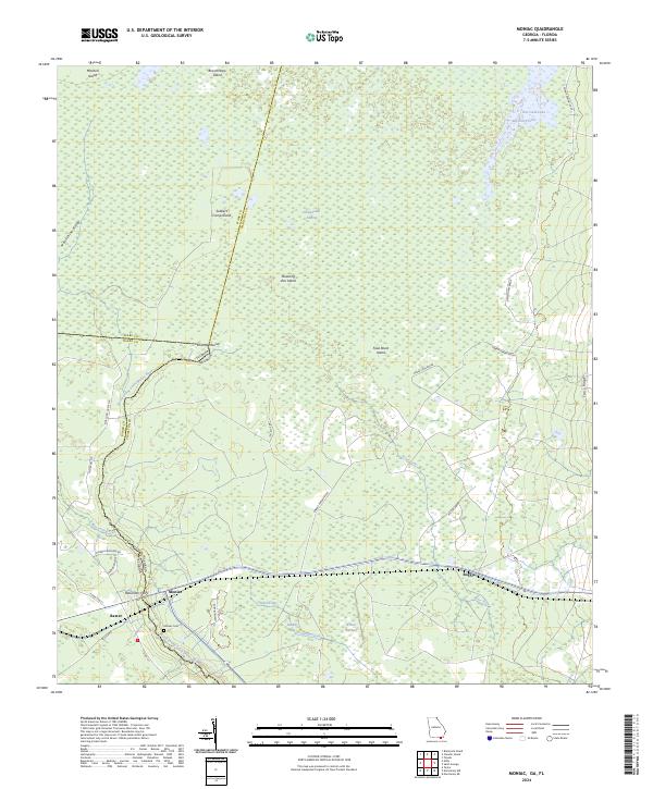
2024 Moniac
Charlton County, GA
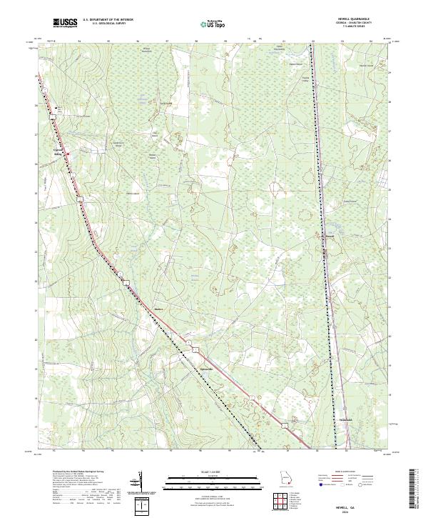
2024 Newell
Charlton County, GA
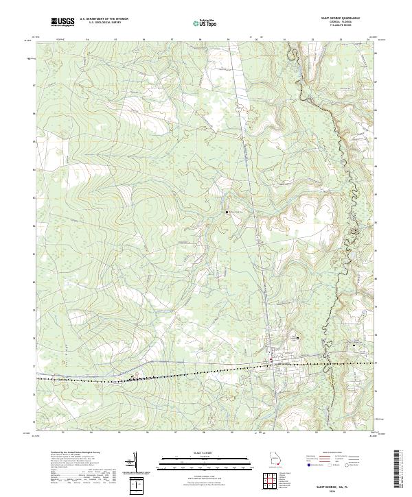
2024 Saint George
Charlton County, GA
2024 Toledo
Charlton County, GA