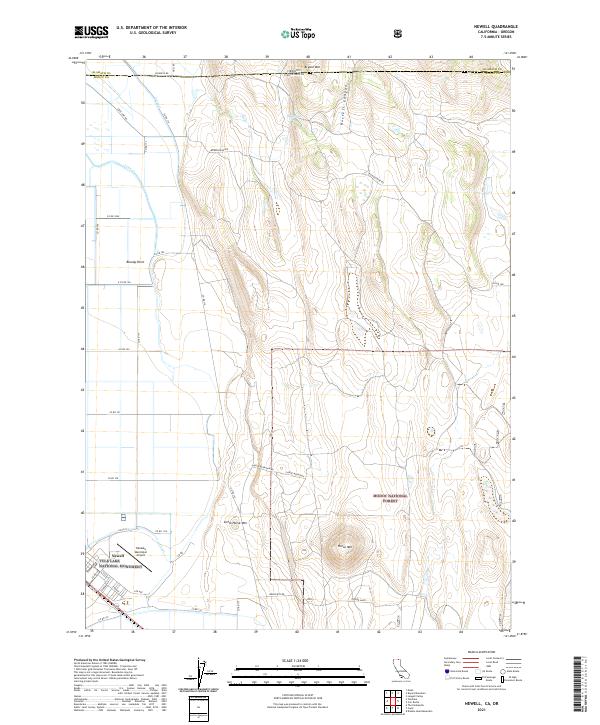
2021 Map of Newell
USGS Topo · Published 2021About this map
The Tule Lake National Monument sits at the heart of this landscape, marking a site of immense significance in American history. Located near the community of Newell, the map details a grid of streets including 3rd Ave and Eureka St just west of the Tulelake Municipal Airport. This area, situated at the boundary of Klamath and Modoc counties along the Oregon-California border, reveals a highly managed agricultural environment defined by the J Canal and D Canal irrigation systems.
Find a feature on this map
46 named features on this map. Tap any name to fly to it.
Don’t see what you’re looking for? This feature index may not catch every label — zoom into the map to look around manually.
Map Details
Editions of this 2021 Newell Map
This is the sole edition of this map. No revisions or reprints were ever made.
Other maps of this area

1886 · Modoc Lava Bed
USGS Topo · 1:250,000

1889 · Klamath
USGS Topo · 1:250,000

1892 · Modoc Lava-Bed
USGS Topo · 1:250,000

1894 · Klamath
USGS Topo · 1:250,000

1951 · Clear Lake Reservoir
USGS Topo · 1:62,500

1951 · Tulelake
USGS Topo · 1:62,500

1954 · Alturas
USGS Topo · 1:250,000

1955 · Klamath Falls
USGS Topo · 1:250,000

1957 · Malin
USGS Topo · 1:62,500

1958 · Alturas
USGS Topo · 1:250,000