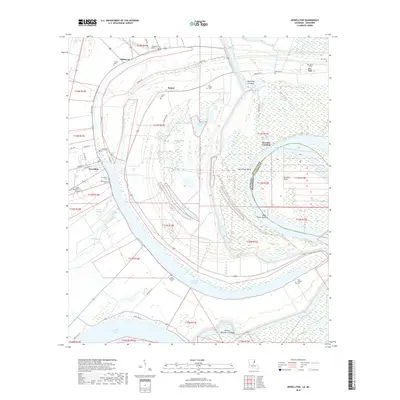
2018 Map of Newellton
USGS Topo · Published 2018About this map
Newellton serves as the central hub of this Mississippi River delta landscape, where the town's grid is defined by local routes like Gin Lot Rd and Hillcrest Dr. The area's complex alluvial history is visible in its numerous oxbows and sloughs, including the massive sweep of Lake Saint Joseph and the intricate wetlands around Alligator Slough and Watermelon Lake. The map reveals a high density of small family or community burial grounds that speak to the area's agricultural heritage, such as Routhwood Cem, Canton Cem, and Wyoming Cem.
Find a feature on this map
58 named features on this map. Tap any name to fly to it.
Don’t see what you’re looking for? This feature index may not catch every label — zoom into the map to look around manually.
Map Details
Editions of this 2018 Newellton Map
This is the sole edition of this map. No revisions or reprints were ever made.
Other maps of this area

1909 · Delta Bridge
USGS Topo · 1:24,000

1909 · Lake Bruen
USGS Topo · 1:24,000

1935 · Shackleford Lake
USGS Topo · 1:62,500

1939 · Lorman
USGS Topo · 1:62,500

1939 · Locust Ridge
USGS Topo · 1:62,500

1953 · Natchez
USGS Topo · 1:250,000

1955 · Jackson
USGS Topo · 1:250,000

1956 · Natchez
USGS Topo · 1:250,000

1958 · Shackleford Lake
USGS Topo · 1:62,500

1958 · St. Joseph
USGS Topo · 1:62,500