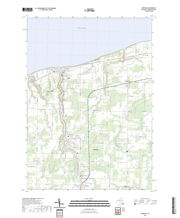
2023 Map of Newfane
USGS Topo · Published 2023About this map
Lake Ontario borders the northern edge of this Niagara County landscape, where the hamlet of Olcott serves as a lakeside anchor. The terrain is defined by a series of parallel waterways flowing north toward the lake, including Eighteenmile Creek, Hopkins Creek, Keg Creek, and Fish Creek. These corridors have shaped the local settlement patterns, with Burt and Newfane situated along the banks of Eighteenmile Creek, connected by Lockport Olcott Rd.
Find a feature on this map
70 named features on this map. Tap any name to fly to it.
Don’t see what you’re looking for? This feature index may not catch every label — zoom into the map to look around manually.
Map Details
Editions of this 2023 Newfane Map
This is the sole edition of this map. No revisions or reprints were ever made.
Other maps of this area

1894 · Wilson
USGS Topo · 1:62,500

1897 · Tonawanda
USGS Topo · 1:62,500

1897 · Olcott
USGS Topo · 1:62,500

1897 · Lockport
USGS Topo · 1:62,500

1899 · Niagara
USGS Topo · 1:125,000

1900 · Wilson
USGS Topo · 1:62,500

1900 · Tonawanda
USGS Topo · 1:62,500

1901 · Tonawanda
USGS Topo · 1:62,500

1902 · Lockport
USGS Topo · 1:62,500

1905 · Lockport
USGS Topo · 1:62,500