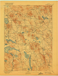
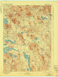
1893 Map of Newfield
USGS Topo · Published 1917About this map
The hills of York County define a landscape of high summits and scattered mill settlements in this late 19th-century survey. Limerick and Newfield serve as central hubs for a network of roads that snake between prominent peaks like Hosac Mountain and Randall Mountain. The economy of the era is visible in the placement of Ossipee Mills along the Little Ossipee River and Milton Mills on the Salmon Falls River, where water power drove local industry.
Find a feature on this map
57 named features on this map. Tap any name to fly to it.
Don’t see what you’re looking for? This feature index may not catch every label — zoom into the map to look around manually.
Map Details
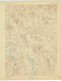
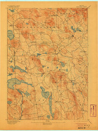
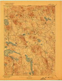
Editions of this 1893 Newfield Map
6 editions found
Other maps of this area

1891 · Berwick
USGS Topo · 1:62,500

1891 · Kennebunk
USGS Topo · 1:62,500

1891 · Buxton
USGS Topo · 1:62,500

1891 · Newfield
USGS Topo · 1:62,500

1892 · Buxton
USGS Topo · 1:62,500

1893 · Kennebunk
USGS Topo · 1:62,500

1893 · Berwick
USGS Topo · 1:62,500

1893 · Buxton
USGS Topo · 1:62,500

1893 · Newfield
USGS Topo · 1:62,500

1896 · Sebago
USGS Topo · 1:62,500