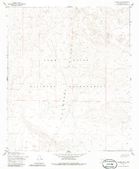
1955 Map of Newman NE
USGS Topo · Published 1986About this map
The Fort Bliss Military Reservation dominates this mid-century landscape in the southern reaches of Otero County. Mapped in 1954, the terrain is characterized by the broad, arid expanse of the Tularosa Valley, showing the complex topographic variations of the basin floor. The map highlights the intersection of military land management and the open geography of the New Mexico desert during a period of significant expansion for regional defense installations. Without the presence of permanent civilian settlements, the sheet serves as a clear record of the area's transition into a strictly controlled military zone, as indicated by the prominent boundary separating the reservation from the surrounding public lands. Analysts and historians can trace the early infrastructure development within the valley, including the primitive road networks leading toward the distant corridor of U.S. 54.
Find a feature on this map
5 named features on this map. Tap any name to fly to it.
Don’t see what you’re looking for? This feature index may not catch every label — zoom into the map to look around manually.
Map Details
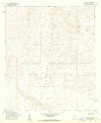
Editions of this 1955 Newman NE Map
2 editions found
Other maps of this area

1940 · Orogrande
USGS Topo · 1:62,500

1940 · Newman
USGS Topo · 1:62,500

1941 · Desert
USGS Topo · 1:62,500

1943 · Parker Lake
USGS Topo · 1:62,500

1943 · Desert
USGS Topo · 1:62,500

1943 · Newman
USGS Topo · 1:62,500

1943 · Orogrande
USGS Topo · 1:62,500

1948 · Davies Tank
USGS Topo · 1:24,000

1948 · El Wood
USGS Topo · 1:24,000

1948 · Newman NW
USGS Topo · 1:24,000