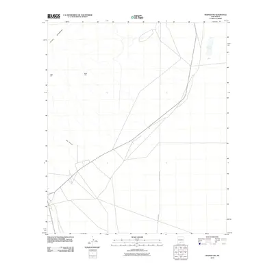
2010 Map of Newman NW
USGS Topo · Published 2010About this map
The eastern slopes of the Organ Mountains dominate the western edge of this 2010 quadrangle in Doña Ana County. This arid landscape is defined by its drainage patterns and distinct topographic markers such as Deer Hill and the Black Hills. The northern portion of the map reveals Old Coe Lake, a notable local basin in an area where water features are infrequent. Human development is marked by a network of local roads and thoroughfares, including the distinct path of De Lara Estates Rd running through the eastern section. The natural geography is further detailed by the prominent Oak Canyon, which cuts through the high desert terrain, illustrating the runoff paths from the mountain peaks toward the basin floors.
Find a feature on this map
6 named features on this map. Tap any name to fly to it.
Don’t see what you’re looking for? This feature index may not catch every label — zoom into the map to look around manually.
Map Details
Editions of this 2010 Newman NW Map
This is the sole edition of this map. No revisions or reprints were ever made.
Other maps of this area

1891 · Las Cruces
USGS Topo · 1:125,000

1893 · Las Cruces
USGS Topo · 1:125,000

1940 · Newman
USGS Topo · 1:62,500

1941 · Organ Peak
USGS Topo · 1:62,500

1943 · La Mesa
USGS Topo · 1:62,500

1943 · Parker Lake
USGS Topo · 1:62,500

1943 · Newman
USGS Topo · 1:62,500

1943 · Organ Peak
USGS Topo · 1:62,500

1948 · Davies Tank
USGS Topo · 1:24,000

1948 · Newman NW
USGS Topo · 1:24,000