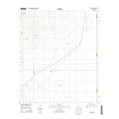
2013 Map of Newman NW
USGS Topo · Published 2013About this map
Organ Mountains foothills define the western edge of this desert landscape, where the high peaks descend into the broad expanse of the Tularosa Valley. This 2013 survey of the New Mexico borderlands highlights the sparse but critical water management infrastructure necessary for this arid environment, featuring scattered catchments like Scott Tank, Pit Tank, and the seasonally variable Old Coe Lake. The terrain is characterized by distinct geological landmarks including Deer Hill and the Black Hills, while the drainage of Oak Canyon cuts through the western slopes. The map also records the precise administrative boundary between Do!a Ana and Otero Counties, providing a clear view of how political lines bisect this open rangeland and the solitary path of NM-213 as it traverses the basin.
Find a feature on this map
14 named features on this map. Tap any name to fly to it.
Don’t see what you’re looking for? This feature index may not catch every label — zoom into the map to look around manually.
Map Details
Editions of this 2013 Newman NW Map
This is the sole edition of this map. No revisions or reprints were ever made.
Other maps of this area

1891 · Las Cruces
USGS Topo · 1:125,000

1893 · Las Cruces
USGS Topo · 1:125,000

1940 · Newman
USGS Topo · 1:62,500

1941 · Organ Peak
USGS Topo · 1:62,500

1943 · La Mesa
USGS Topo · 1:62,500

1943 · Parker Lake
USGS Topo · 1:62,500

1943 · Newman
USGS Topo · 1:62,500

1943 · Organ Peak
USGS Topo · 1:62,500

1948 · Davies Tank
USGS Topo · 1:24,000

1948 · Newman NW
USGS Topo · 1:24,000