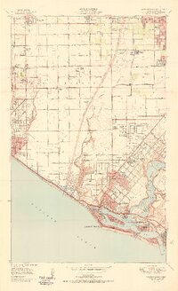
1951 Map of Newport Beach
USGS Topo · Published 1951About this map
The Santa Ana River carves through this coastal landscape, separating the developing residential blocks of Costa Mesa from the agricultural and oil-producing plains to the west. In the years following World War II, the area shows a transitional character where rural settlements like Wintersburg and Smeltzer persist alongside growing suburban tracts. Extensive oil fields dominate the coastal bluffs of Huntington Beach, marked by dense clusters of oil wells and tanks that overlook the Pacific Ocean.
Find a feature on this map
75 named features on this map. Tap any name to fly to it.
Don’t see what you’re looking for? This feature index may not catch every label — zoom into the map to look around manually.
Map Details
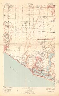
Editions of this 1951 Newport Beach Map
2 editions found
Other maps of this area

1896 · Santa Ana
USGS Topo · 1:62,500

1896 · Anaheim
USGS Topo · 1:62,500

1896 · Las Bolsas
USGS Topo · 1:62,500

1896 · Downey
USGS Topo · 1:62,500

1898 · Anaheim
USGS Topo · 1:62,500

1899 · Downey
USGS Topo · 1:62,500

1901 · Southern California Sheet No. 1
USGS Topo · 1:250,000

1901 · Santa Ana
USGS Topo · 1:62,500

1901 · Anaheim
USGS Topo · 1:62,500

1902 · Downey
USGS Topo · 1:62,500