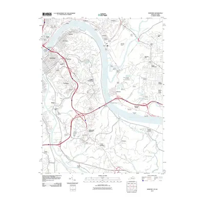
2010 Map of Newport
USGS Topo · Published 2010About this map
The Ohio River carves a winding path through this urban corridor, serving as the central artery for a region where Kentucky and Ohio meet. Along its banks, the established communities of Newport, Bellevue, and Dayton define the southern shore, while the historic district of Mount Adams and the hills of Columbia rise to the north. This survey illustrates a landscape deeply integrated with the river, evidenced by numerous marinas like Idlewild Marina and Yacht Haven Marina, alongside the industrial and recreational infrastructure of the Cincinnati Municipal Airport and River Downs Racetrack.
Find a feature on this map
85 named features on this map. Tap any name to fly to it.
Don’t see what you’re looking for? This feature index may not catch every label — zoom into the map to look around manually.
Map Details
Editions of this 2010 Newport Map
This is the sole edition of this map. No revisions or reprints were ever made.
Other maps of this area

1898 · East Cincinnati
USGS Topo · 1:62,500

1914 · East Cincinnati
USGS Topo · 1:62,500

1914 · West Cincinnati
USGS Topo · 1:62,500

1929 · Alexandria
USGS Topo · 1:48,000

1936 · Alexandria
USGS Topo · 1:62,500

1950 · Independence
USGS Topo · 1:24,000

1950 · Covington
USGS Topo · 1:24,000

1952 · Newport
USGS Topo · 1:24,000

1953 · Withamsville
USGS Topo · 1:24,000

1953 · New Richmond
USGS Topo · 1:24,000